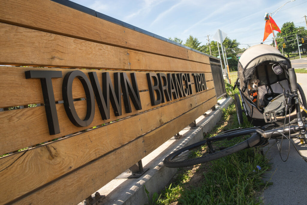
Yahoo Falls Picnic Area is located in the Big South Fork National River and Recreation Area in Kentucky. The scenic area contains short hikes and overlooks of the Cumberland River and Yahoo Falls, an impressively tall waterfall. The area is surrounded by the Daniel Boone National Forest with a variety of trails and camping options. You can create a 9-mile loop hike by combining the Yahoo Falls Trail, Sheltowee Trace, and USFS 602 & 612 trails.

Backpacking tips. While no camping is allowed in the Picnic Area, Alum Ford primitive campground is about 2 miles south on the Sheltowee Trace. Big South Fork manages the campground and it is $15/night. There is no water or electricity at the campground and cellular service is weak along the Cumberland River. Hit me up for additional tips. Get lost and have a blast.

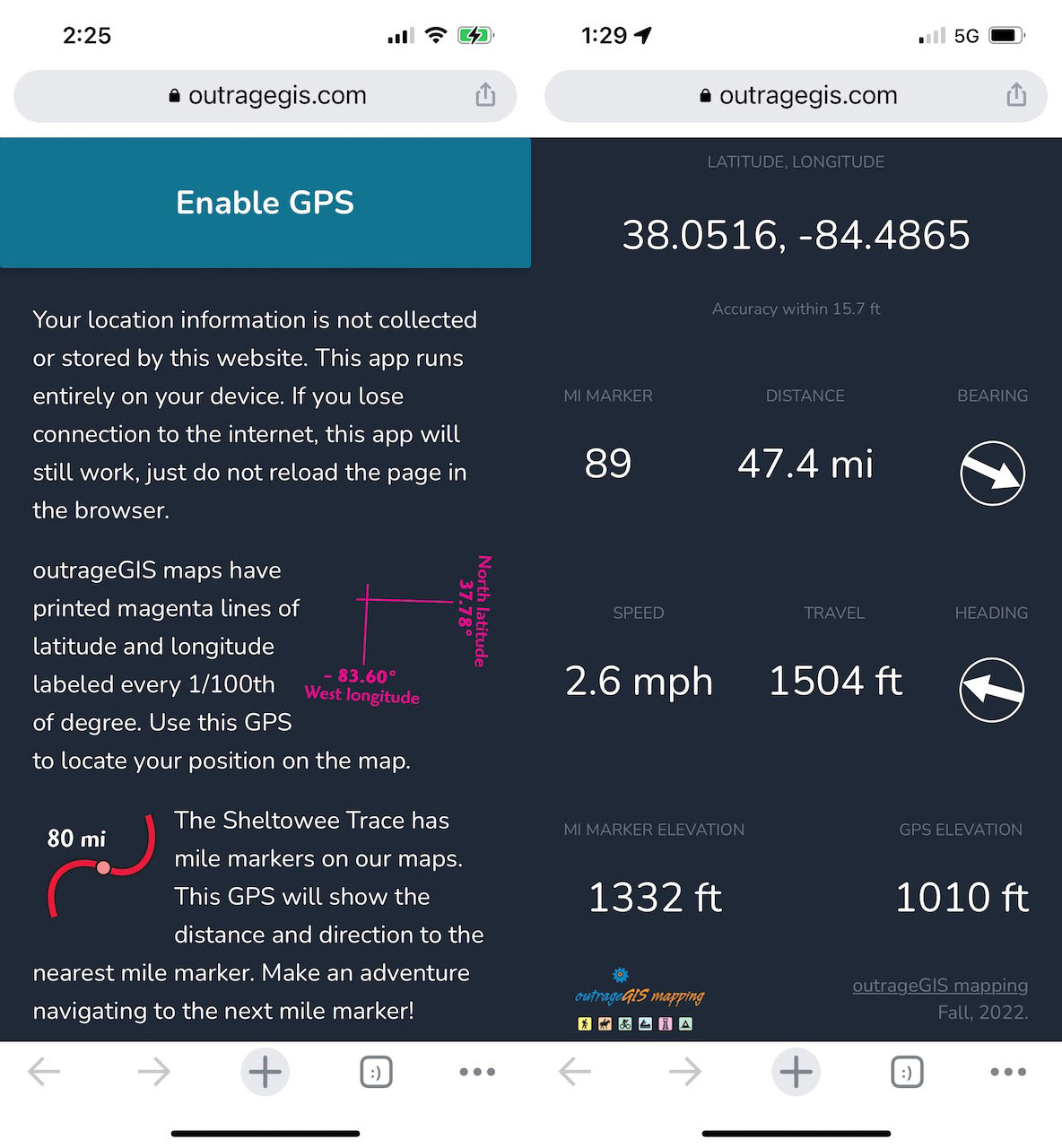
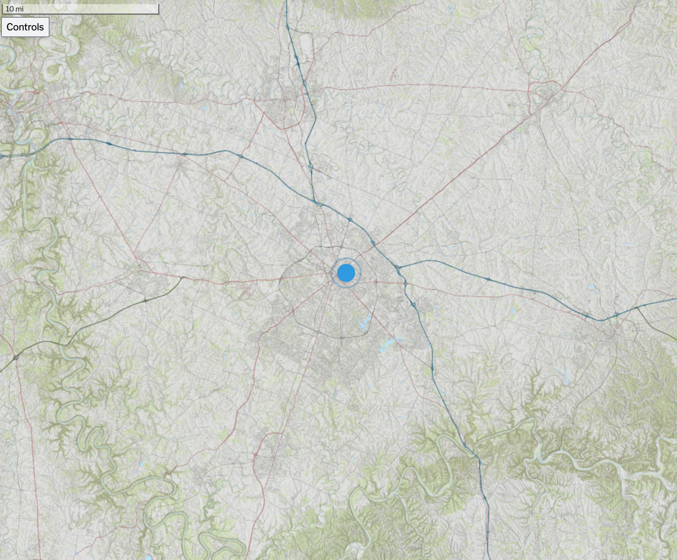 Above is an screen capture of the Kentucky Topo map for the state. Other base maps include, lidar-derived surface models and current GOES-16 imagery.
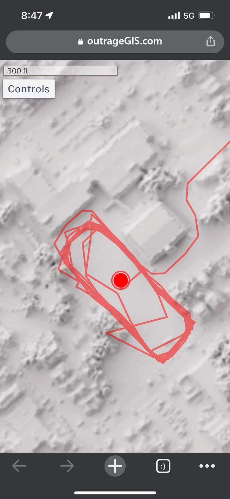 Screen capture of track mapping on a mobile device
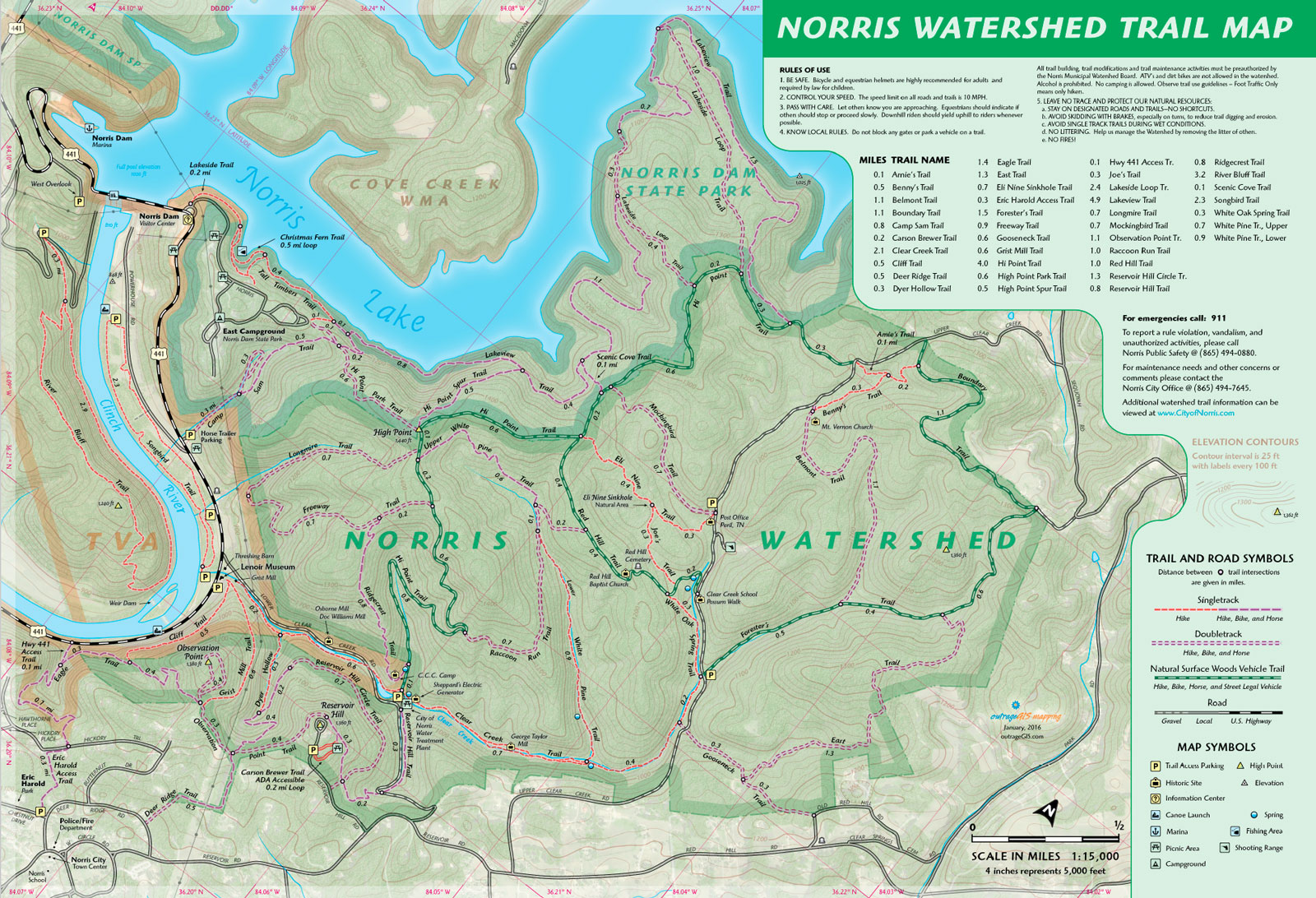
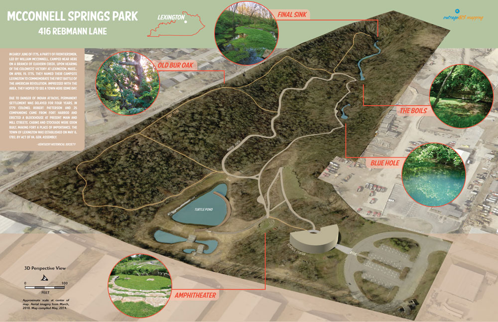

 Red River Gorge Backpacking Map
 Cave Run Lake Trail Guide


 Red River Gorge Backpacking Map
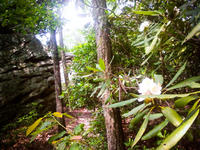
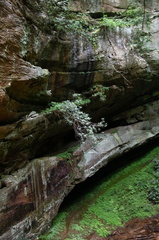 A hike from Gray’s Arch Trailhead to D. Boone Hut and Martin Fork. A large area of ferns can be found on near the crossing of Martin Fork and scenic overlooks offer limited views down the valley and across the valley to Tunnel Ridge Road.
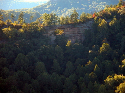 Double Arch
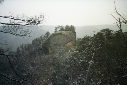 Courthouse Rock


