We collect imagery from national park webcams in the Great Smokies and Mammoth Cave parks and then make animated gifs of those webcam images. In 2011, I penciled this quick note:
110629 Nice time-lapse photography for all cameras and satellite. Make movie?
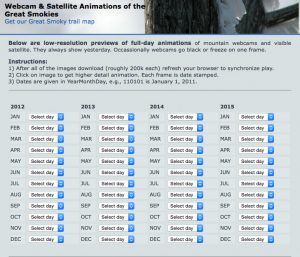
Beginning in 2012, we started archiving these animations.
New webcam added to animation archive
Turns out, we had Mammoth Cave working for the entire 2021 year, but didn’t have them accessible via a web page. With a little grep and sed action, the gifs were added to the default page for the Great Smokies archive. Visit the interface here.
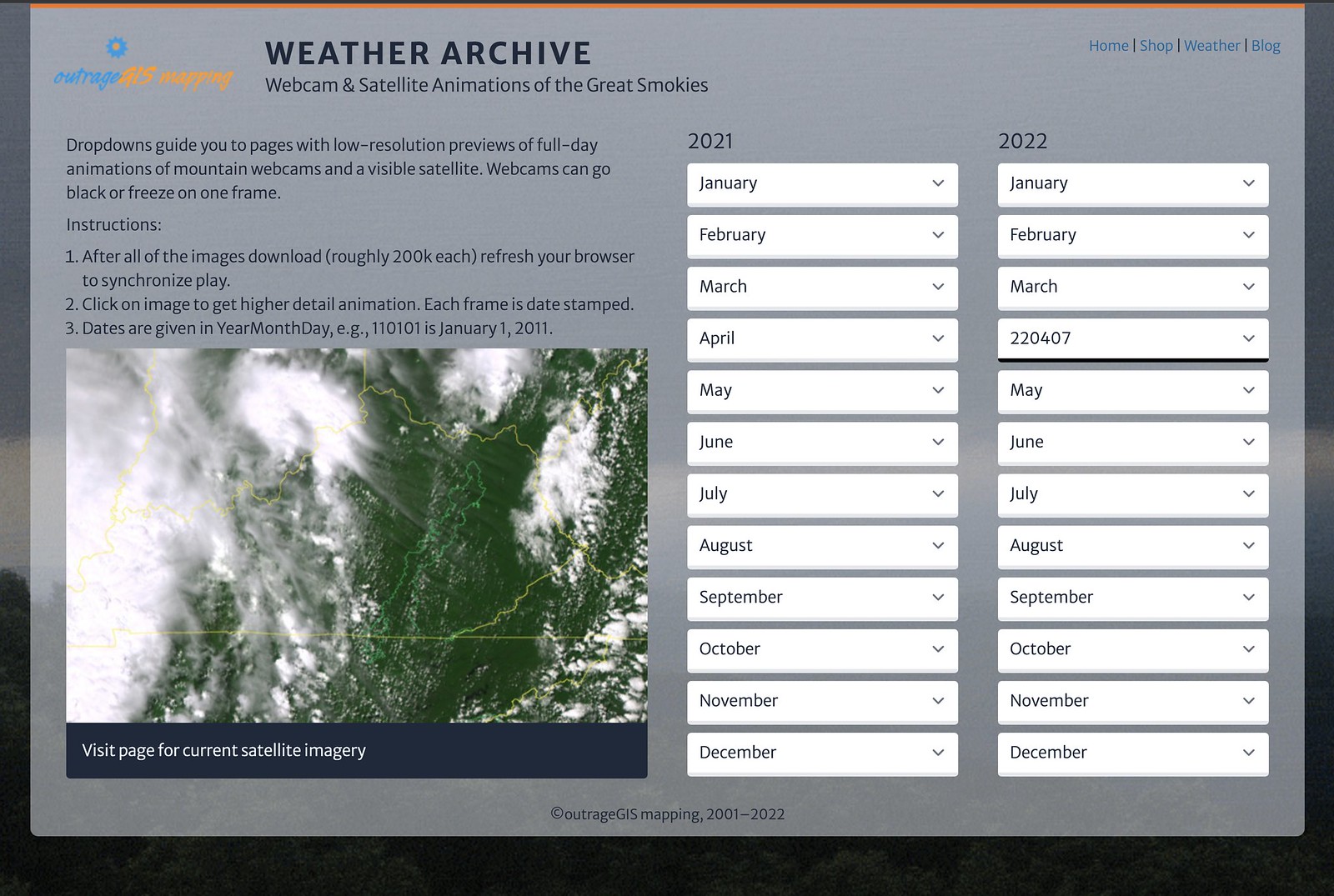
We plan on having at least the last year covered in the archive. At 60 GB a year now with HD cameras, it can get expensive hosting multiple years. I do have the years back to 2012 stored offline.


 We are introducing our new map and GPS datapack series for the Great Smoky Mountains. We’ve created an easily printable map for every trail listed in the Great Smoky Mountains Association’s Hiking Trails of the Smokies, the brown book, also known as the “Hikers’ Brown Bible.”
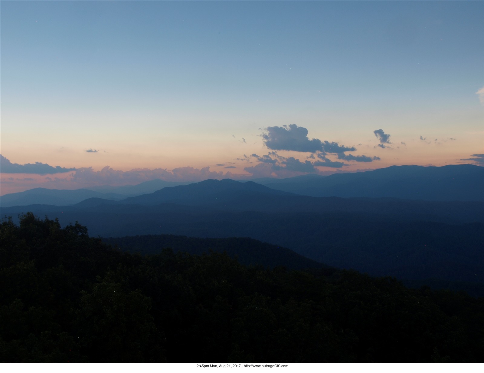
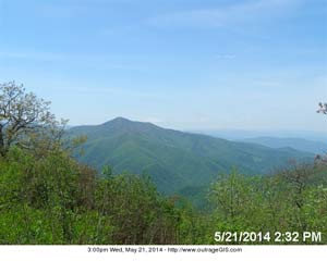
  After a few months of intermittent outage, the four webcams that cover the Great Smokies are all working. Now we can compare sky conditions on both sides of the mountain and also observe sunrise and sunset. The webcam animations also work, too!


