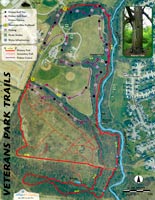
Cumberland Gap Map
Distance: 23 Miles round-trip from Wilderness Road Campground
Difficulty: +++
Scenic Views: ++++
Elevation Relief: 2,100ft ^^^
Ownership: Cumberland Gap, NPS
Google to trailheads
| Cumberland Gap Trail Map: $12 |
 |
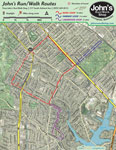
 Trails in Hensley settlement
Sherman Hensley hiked up this mountain in 1903 with his pregnant wife and all of the tools and food-on-foot he could drive. They saw the large meadow that would bear the Hensley name and carved out a pioneer homestead. The Gibson family later joined the settlement and together they lived on the mountain, even after the park purchases their land until Sherman left in 1970. [Read more…]


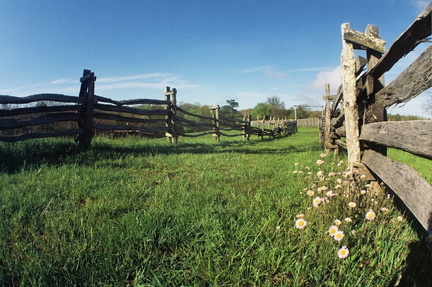
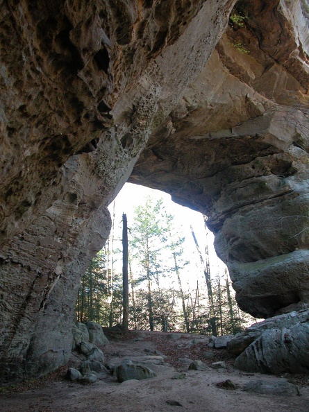 Twin Arches
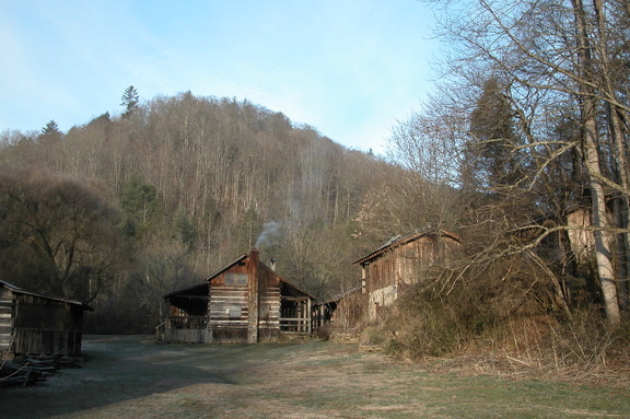 Charit Creek Lodge
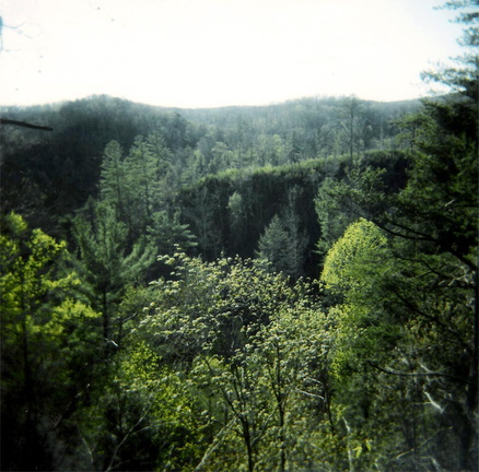 Rock Creek valley
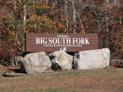 Entering Big South Fork country
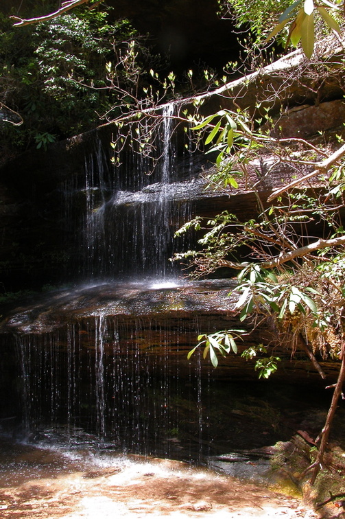 Crystal Falls