Peak camping season is officially here, and to help you plan your nights under the stars, we’ve mapped out key celestial events for the remainder of 2026. Below, you’ll find the perfect intersection of astronomical timing and trail-tested recommendations for your next overnight adventure. As always, bring a headlamp, carry your map, stay mindful of cliffs, and check the weather for clear skies before heading out.
| March 20: Spring Equinox |
| At the Spring Equinox, the sun rises and sets almost exactly due east and west. |
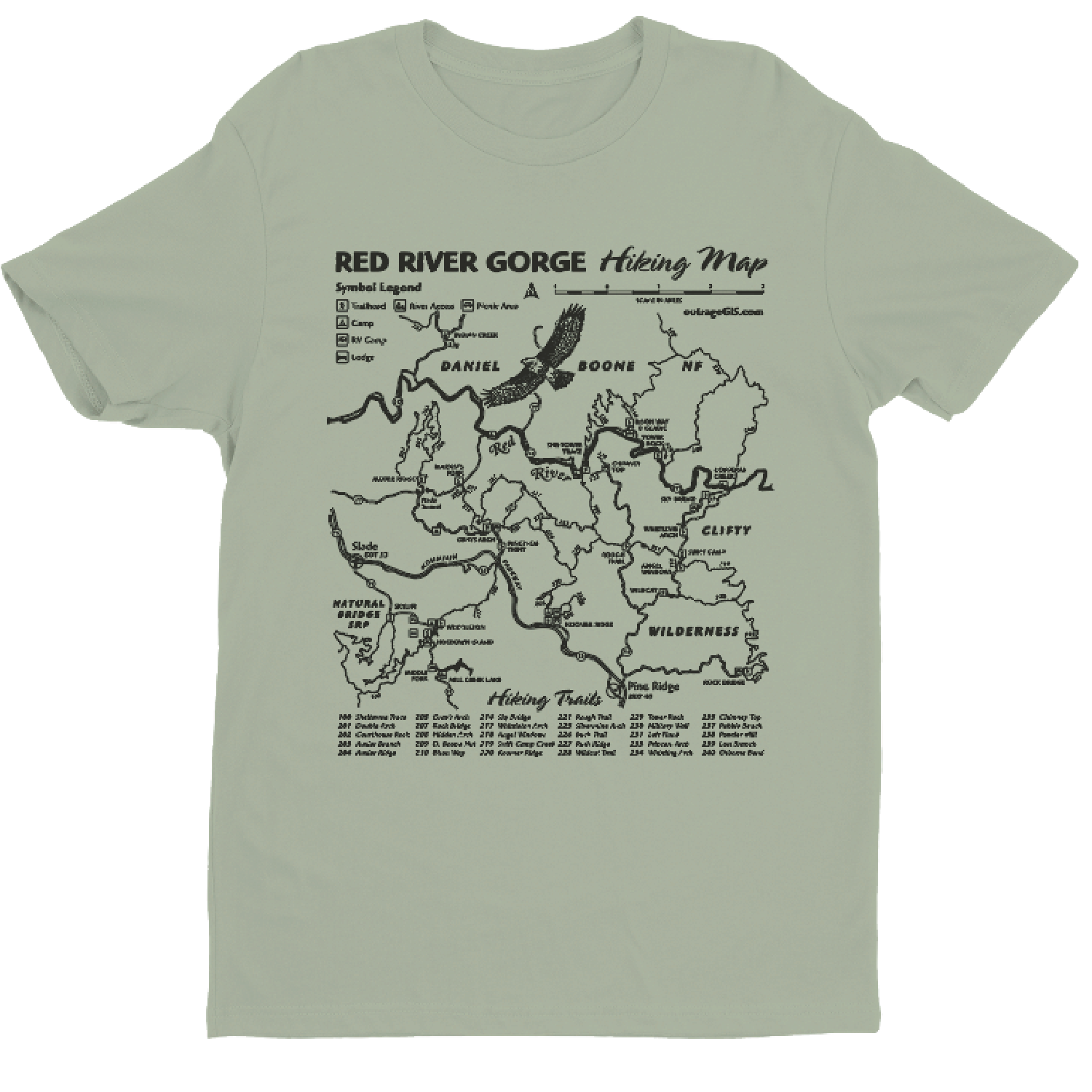
| Trail: Sky Bridge in the Red River Gorge |
| Camping: Koomer Ridge Campground |
| April 22: Lyrid Meteor Shower |
| The Lyrids are famous for bright “fireballs.” The moon will be a waxing crescent and set early, leaving a dark window for viewing. |
| Trail: Auxier Ridge in the Red River Gorge |
| Camping: Dispersed backcountry camping near Pants Grip Point. Make sure to follow all park regulations. |
| May 31: Blue Moon |
| Since May starts and ends with a full moon, the Blue Moon is your best chance for a classic moonlit sandstone hike. |
| Trail: Rough Trail in the Red River Gorge |
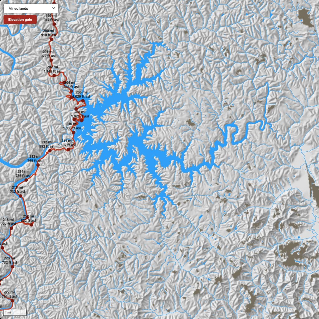
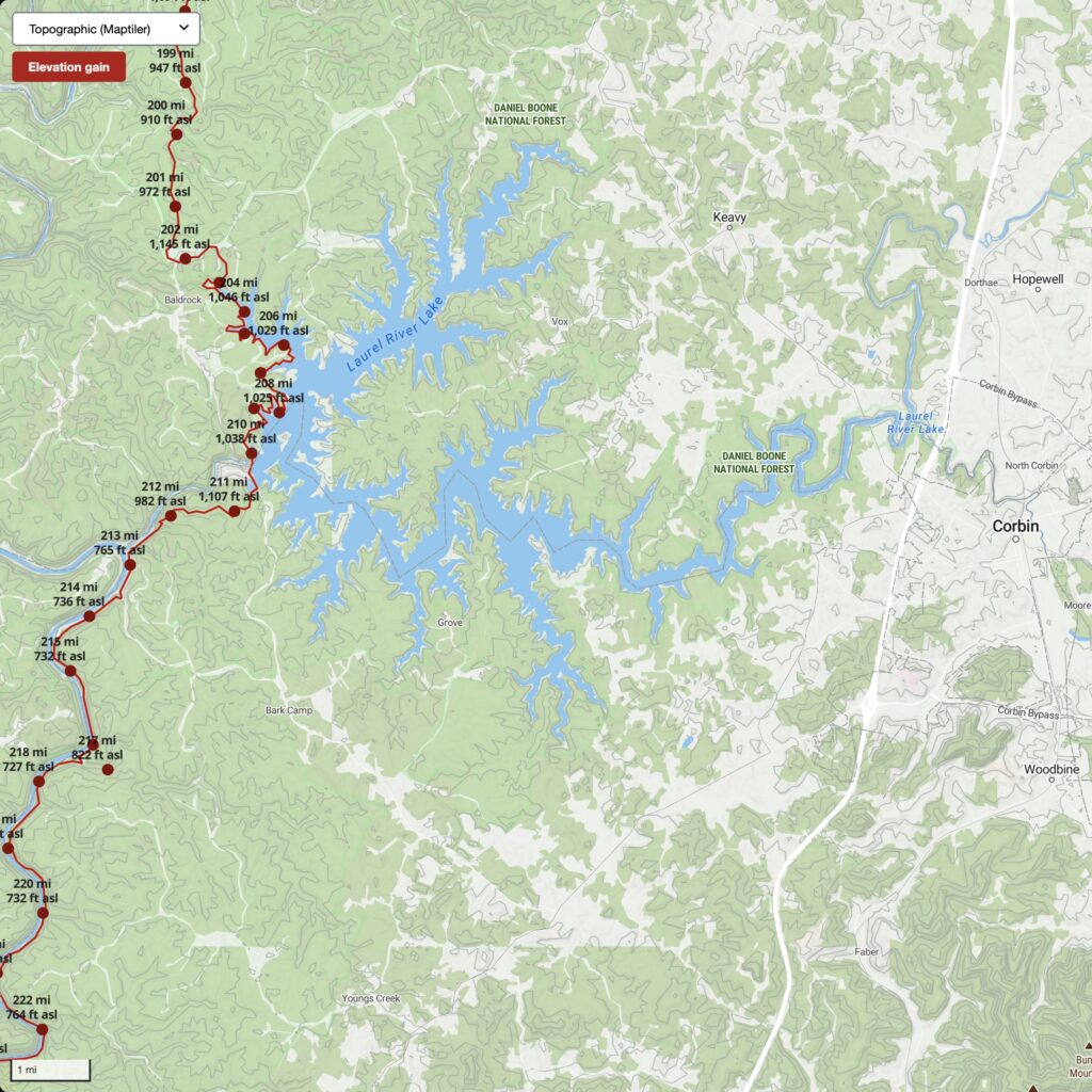
| June 15: Peak Milky Way |
| Mid-June offers the longest window to see the galactic center with the new moon. |
| Trail: Honey Creek Loop in the Big South Fork NRRA |
| Camping: Picket State Park Campground is in an official “International Dark Sky Park.” |
| July 29–30: Delta Aquariid Meteor Shower |
| The Southern Delta Aquariid Meteor shower will produce a steady of dozens of faint meteors each hour under dark skies. |
| Trail: Rock Bridge Trail in the Red River Gorge |
| Camping: Dispersed camping near Rock Bridge Recreation Area |
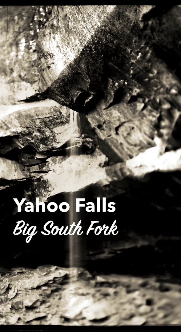
| August 11–13: Perseid Meteor Shower |
| This is the gold standard of meteor showers, producing 30–50 meteors per hour. 2026 is a perfect year because of a New Moon, so the sky will be as dark as possible. |
| Trail: Yahoo Falls in the Big South Fork NRRA |
| Camping: Alum Ford Campground |
| September 25–27: Harvest Moon |
| The Harvest Moon stays bright for several nights in a row, traditionally helping “hunters” navigate the woods, and it’s great for night hiking. |
| Trail: Ridge Trail to Pinnacle Overlook in the Cumberland Gap NHP |
| Camping: Gibson Gap Backcountry Campsite |
| October 21–22: Orionid Meteor Shower |
| These meteors are fragments of Halley’s Comet. They are known for being fast and leaving glowing “trains.” |
| Trail: Hensley Settlement in the Cumberland Gap NHP |
| Camping: Martins Fork Backcountry Campsite |
| November 16–17: Leonid Meteor Shower |
| Historically famous for meteor storms, the Leonids usually produce fast bright meteors with occasional fireballs. |
| Trail: John Muir Trail toward Laurel Fork Creek in the Big South Fork NRRA |
| Camping: Station Camp Campground |
| December 13–14: Geminid Meteor Shower |
| The Geminids are one of the most spectacular meteor showers can produce over 100 meteors per hour from debris of asteroid 3200 Phaethon. |
| Trail: Sheltowee Trace north of Cave Run Lake |
| Camping: Clear Creek Campground |


 Oblique of Frankfort
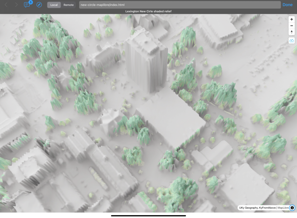
 Viewer interface
 Viewer interface
 Viewer interface
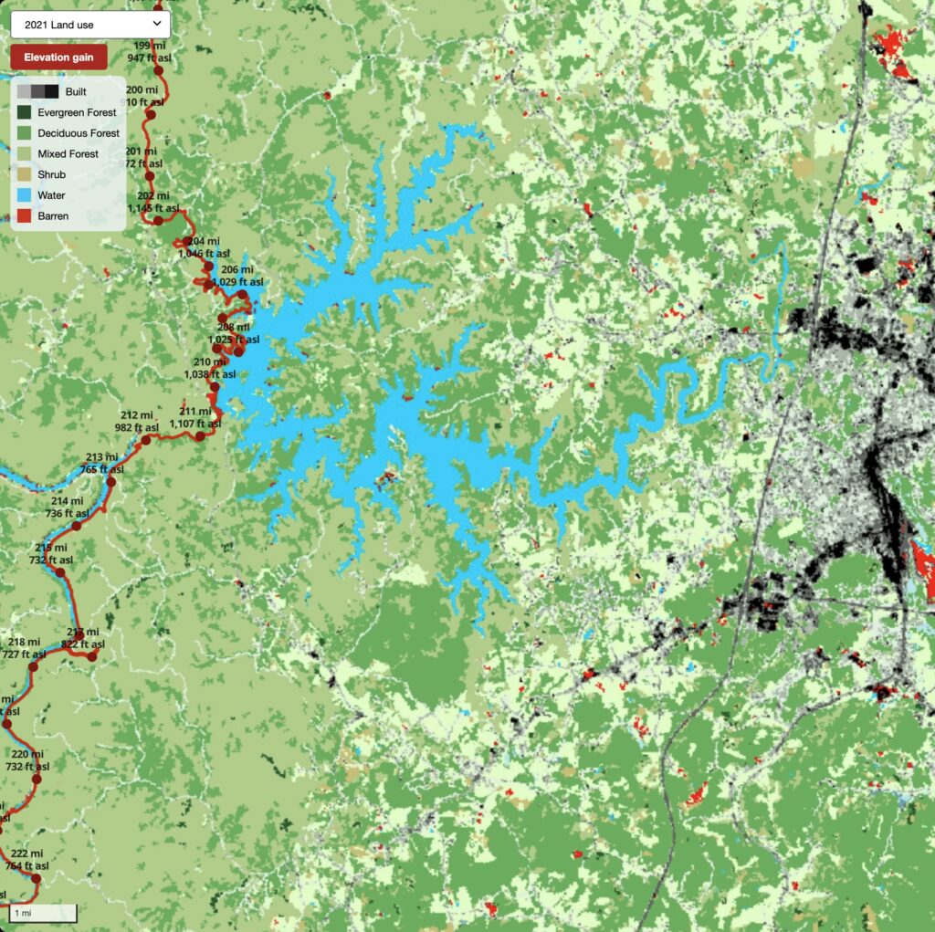
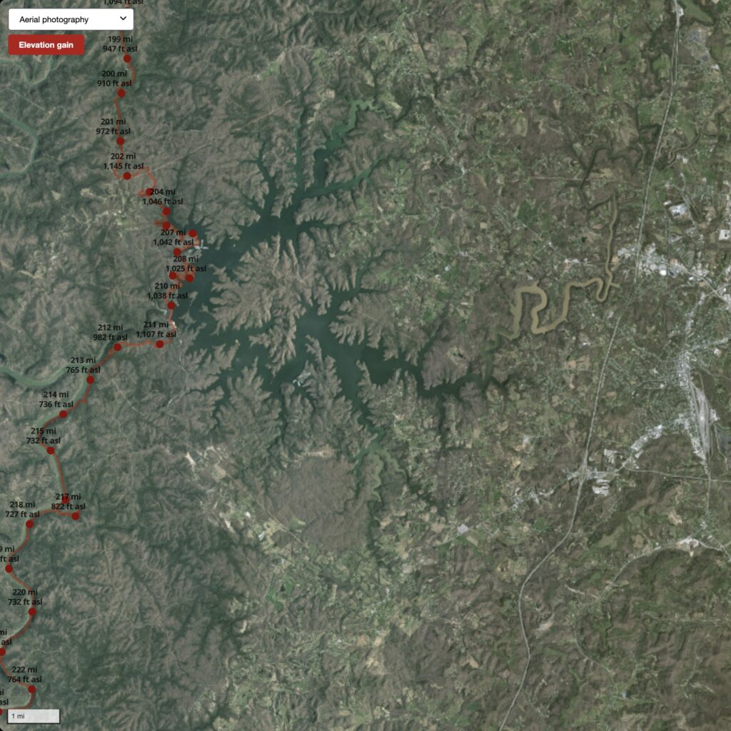
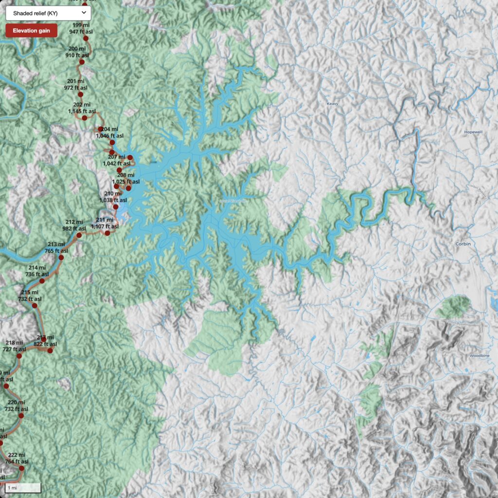
 Oblique of Laurel Lake
 Search by flight and shot ID
 Attributes of image footprint centroid
 Phase 1 decrease in height
 Phase 2 increase in height
 Phases combined
 Phase 2 colorized with aerial photography
 Viewer interface
 Viewer interface
 Viewer interface


 KyFromAbove Data Explorer