
 Sheltowee Trace North map
Size: small
Fee: no
Accommodations: 23 tent sites (closed due to flooding)
Amenities: Boat ramp, picnic shelter, vault toilets
Open seasonally: spring – fall
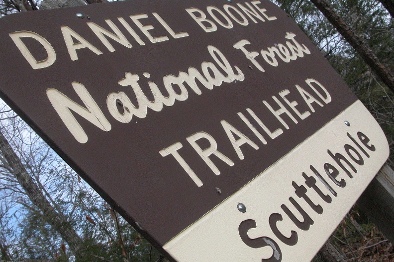
Ownership: Daniel Boone National Forest, USFS
Buy Sheltowee Trace South Trail Map
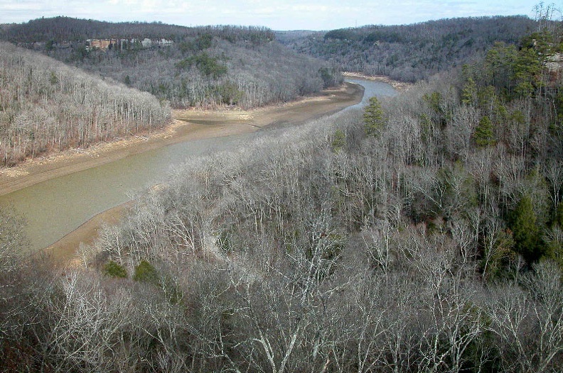
The Rockcastle Recreation Area is situated on the eastern shore of the confluence of the Rockcastle and Cumberland Rivers. The area is surrounded by cliffs with one trail, Scuttlehole Gap Trail, the connects the water with the built overlooks. A 9-mile loop trail follows the banks of Lake Cumberland and the descends into Ned Branch and Twin Branch streams.
Because of recent flooding, the riverfront area is closed.
Enlarge map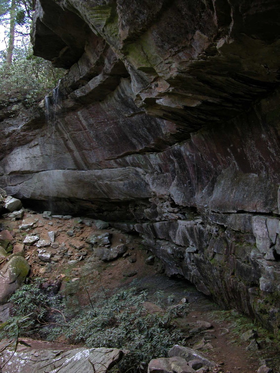


Speak Your Mind
You must be logged in to post a comment.