Sheltowee Trace North map
Size: medium
Fee: yes
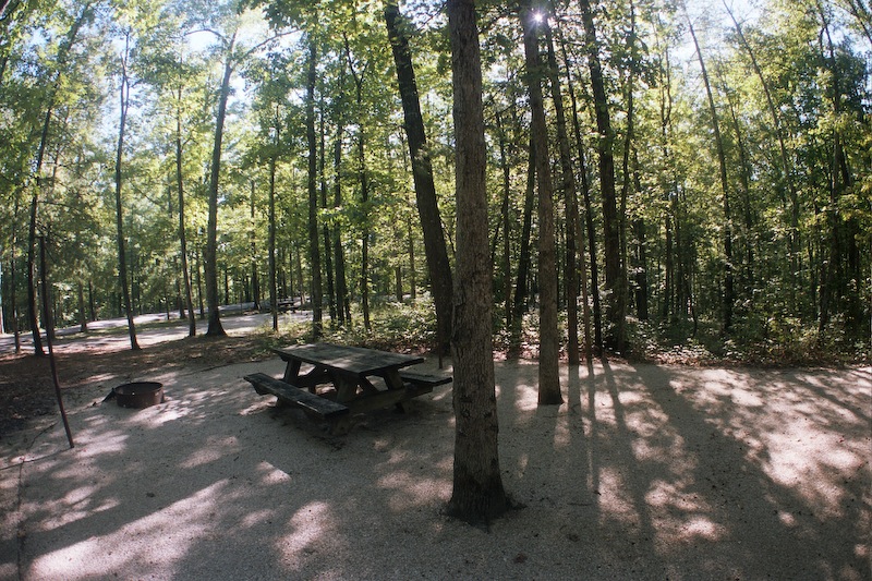
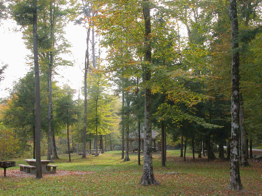
Accommodations: 73 sites
Amenities: Electricity, drinking water, bath houses (not available during winter)
Open all year
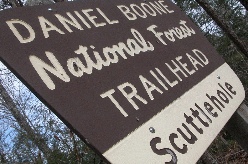
Ownership: Daniel Boone National Forest, USFS
Buy Sheltowee Trace North Trail Map