We’ve added a new map and packaging to our Big South Fork trail guide. Our new map is a 1:126,720 scale trail map of the entire Big South Fork area including the trails around Stearns in the Daniel Boone National Forest and the new horse and multi-purpose trails along Darrow Ridge.
The map is sized at 13.5 x 18.5 inches and is 2-spot colors, black and a metallic ink that looks similar to anodized aluminum. The metallic ink has the useful property of shining under a headlamp and makes reading the trails easier in low light conditions. The map has a 2-minute GPS graticule for navigation and geocaching. The map shows all recreation areas for park and adjoining public lands from Straight Creek in the Daniel Boone NF to Peters Ford in the Big South Fork. On the reverse, we have our classic 3D map of the park.
 For the new packaging, we’ve added a 2-color cardstock overwrap that makes a more impressive retail display. The wrap describes the historic trail signs that you might find in the Big South Fork. Gone are the rustic old wooden stencil-painted signs. Over the next year, the park will replace the original trail signage with new blazes and trailhead markers. The blazes are recycled plastic tags that indestructible and hardly distracting since they’re hard to see. While I prefer the old wooden signs, I understand the new signage will be easier to maintain and is more informative at trailheads.
| Big South Fork |
 |


 The Great Smoky Mountains Trail Atlas


 Trails in Hensley settlement


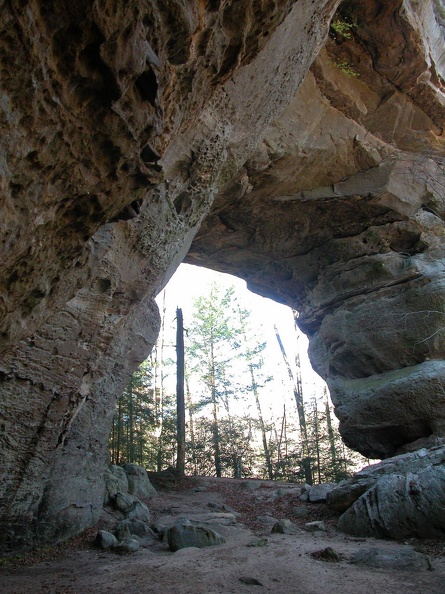 Twin Arches
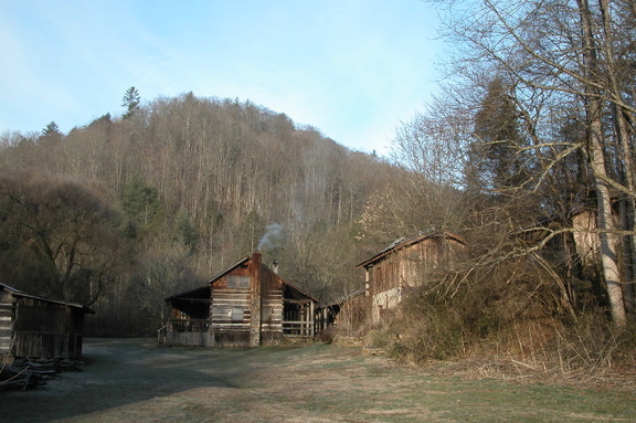 Charit Creek Lodge
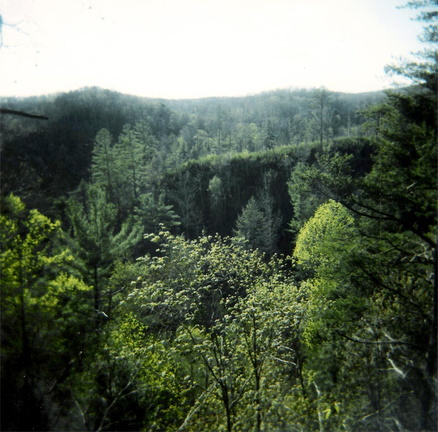 Rock Creek valley
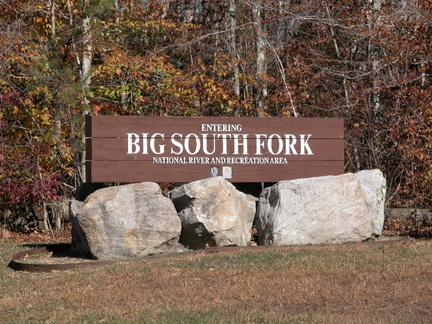 Entering Big South Fork country
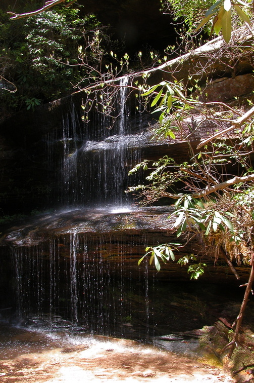 Crystal Falls