![]() I am happy and proud to announce that I have accepted a faculty appointment as Lecturer in the University of Kentucky Department of Geography. Since 2008 I have been teaching in the department as an adjunct. With a potential move to the University of Wisconson Madison to teach GIS, I reflected on the possibilities of focusing on Kentucky and decided to stay in the Bluegrass.
I am happy and proud to announce that I have accepted a faculty appointment as Lecturer in the University of Kentucky Department of Geography. Since 2008 I have been teaching in the department as an adjunct. With a potential move to the University of Wisconson Madison to teach GIS, I reflected on the possibilities of focusing on Kentucky and decided to stay in the Bluegrass. ![]() My current teaching assignment spans open source and ArcGIS mapping platforms in both the traditional classroom and through online courses in New Maps Plus. Learn more about the opportunities and successes in mapping at the University of Kentucky and consider getting a Masters in Mapping or a graduate certificate in open source mapping.
My current teaching assignment spans open source and ArcGIS mapping platforms in both the traditional classroom and through online courses in New Maps Plus. Learn more about the opportunities and successes in mapping at the University of Kentucky and consider getting a Masters in Mapping or a graduate certificate in open source mapping.
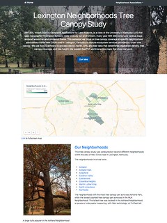
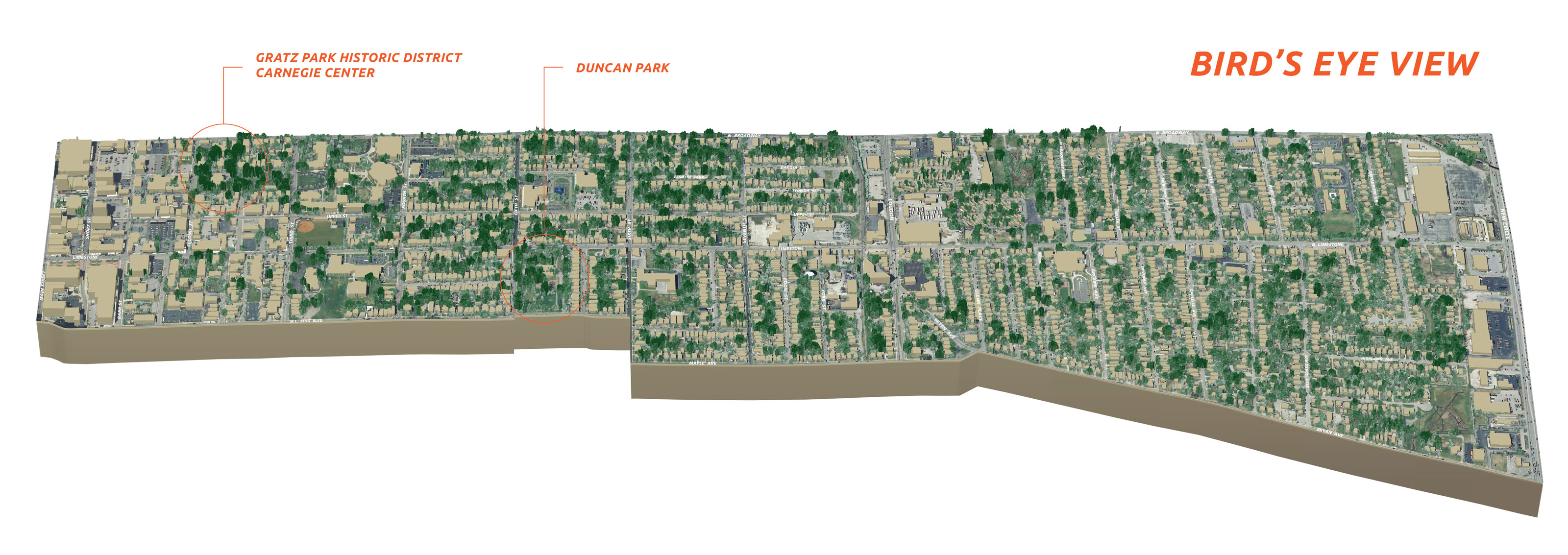
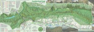
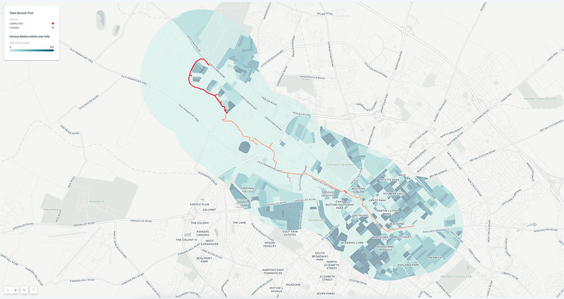
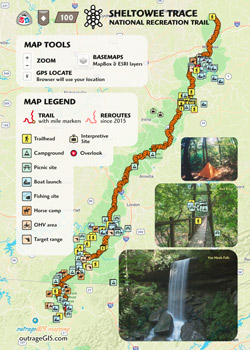
How will this impact outrageGIS mapping? Not much. The topographic map shop will continue as normal and I will still explore and make unique maps and data for Kentucky and surrounding areas. The main change will be a deprioritizing client work in favor of university projects. For example, this year is the 75th Anniversary of the Department of Geography and is a priority project. outrageGIS mapping will also support the department’s Pauer Center for Cartography, so if you need a custom map we can make through the Center.


