Home 12646

 Locator map sample image
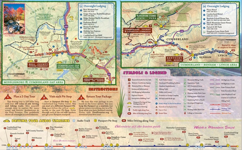 Page from First Frontier Audio Driving Tour booklet
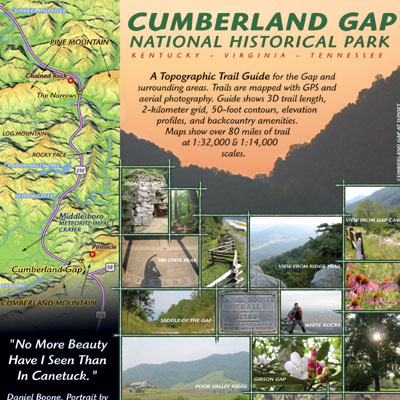 Gap-Cover.jpg
 Gap-inset.jpg
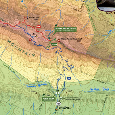 Gap-bigmap.jpg
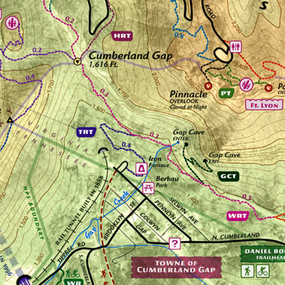 Gap-Inset-close.jpg
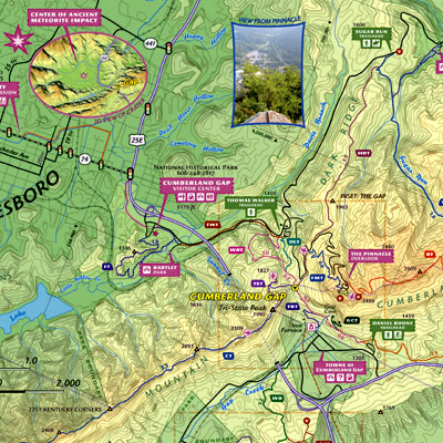 Gap-Gap.jpg
 11" x 34" inch spread of the entire park at 1:32,000 scale. Map is divided into two 11&quo...") Side 1
11" x 34" inch spread of the entire park at 1:32,000 scale. Map is divided into two 11" x 17" sheets.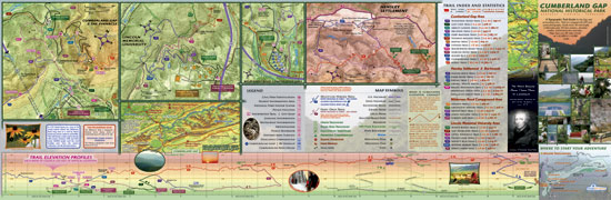 Side 2
Reverse side of map showing trail elevation profile and inset maps.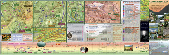 Reverse side of map showing inset maps and elevation profile.
 - Reverse side of map showing inset maps and elevation profile. 11" x 34" inch spread of the entire park at 1:32,000 scale. Map is divided into two 11&quo...") 11" x 34" inch spread of the entire park at 1:32,000 scale. Map is divided into two 11"x17"
11" x 34" inch spread of the entire park at 1:32,000 scale. Map is divided into two 11"x17" - 11" x 34" inch spread of the entire park at 1:32,000 scale. Map is divided into two 11"x17" 27" x 39" map at 1:19,800 scale. 1 inch to 3 furlongs.
Check your local bike shop for a ...") Bike Lexington Map
27" x 39" map at 1:19,800 scale. 1 inch to 3 furlongs. Check your local bike shop for a free, printed version of this map. Download a PDF here. Created in June 2012 and updated in December 2012. The Rough Trail
Parched Corn Creek, Rough Trail, and Chimney Top Creek, March 15, 2013 - Parched Corn Creek, Rough Trail, and Chimney Top Creek, March 15, 2013 The Rough Trail
Parched Corn Creek, Rough Trail, and Chimney Top Creek, March 15, 2013 - Parched Corn Creek, Rough Trail, and Chimney Top Creek, March 15, 2013 The Rough Trail
Parched Corn Creek, Rough Trail, and Chimney Top Creek, March 15, 2013 - Parched Corn Creek, Rough Trail, and Chimney Top Creek, March 15, 2013