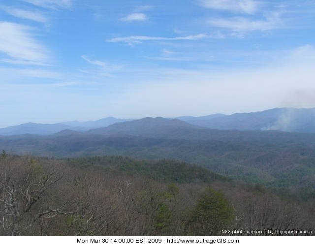
Fire in Cades Cove (controlled burn by the park service) - Fire in Cades Cove (controlled burn by the park service)
This area is covered in our Great Smoky Mountains Trail Map:
[img]http://www.outragegis.com/store/images/T/GRSM-Map-Icon-Small.jpg[/img]
Buy this map
Fire in Cades Cove (controlled burn by the park service) - Fire in Cades Cove (controlled burn by the park service) This area is covered in our Great Smoky Mountains Trail Map: [img]http://www.outragegis.com/store/images/T/GRSM-Map-Icon-Small.jpg[/img] Buy this map
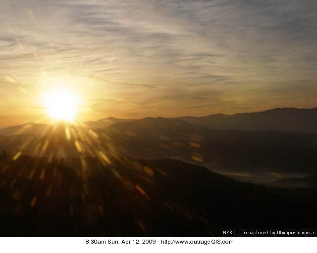
Easter Morning sunrise across Great Smoky Mountains - Easter Morning sunrise across Great Smoky Mountains
This area is covered in our Great Smoky Mountains Trail Map:
[img]http://www.outragegis.com/store/images/T/GRSM-Map-Icon-Small.jpg[/img]
Buy this map
Easter Morning sunrise across Great Smoky Mountains - Easter Morning sunrise across Great Smoky Mountains This area is covered in our Great Smoky Mountains Trail Map: [img]http://www.outragegis.com/store/images/T/GRSM-Map-Icon-Small.jpg[/img] Buy this map
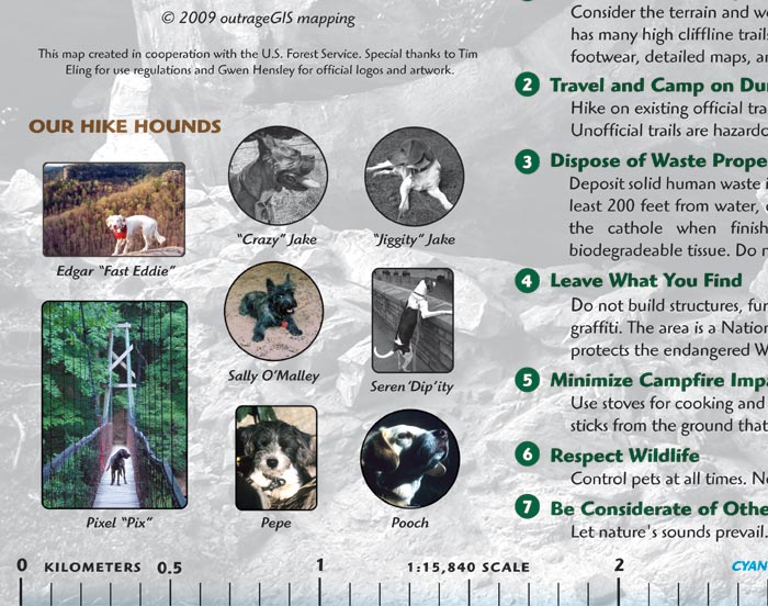
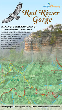
Sample of Trail Legend & hike hounds, 5th Edition - Sample of trail legend & hike hounds, 5th Edition
[img]http://www.outragegis.com/store/images/T/th_Gorge.jpg[/img]
Buy this map
Sample of Trail Legend & hike hounds, 5th Edition - Sample of trail legend & hike hounds, 5th Edition [img]http://www.outragegis.com/store/images/T/th_Gorge.jpg[/img] Buy this map
![Sample-RRG-TrailLegend (6255 visits) Sample of Trail Legend, 5th Edition - Sample of Trail Legend, 5th Edition
[img]http://www.outra... Sample-RRG-TrailLegend](./galleries/maps_001/maps/RedRiverGorge/Sample-RRG-TrailLegend.jpg)
Sample of Trail Legend, 5th Edition - Sample of Trail Legend, 5th Edition
[img]http://www.outragegis.com/store/images/T/th_Gorge.jpg[/img]
Buy this map
Sample of Trail Legend, 5th Edition - Sample of Trail Legend, 5th Edition [img]http://www.outragegis.com/store/images/T/th_Gorge.jpg[/img] Buy this map
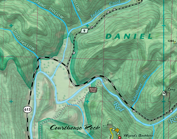
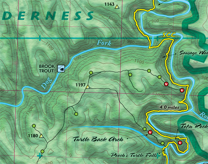
Sample of 1:15,840 scale topographic trail map, 5th Edition - Sample of 1:15,840 scale topographic trail map, 5th Edition
[img]http://www.outragegis.com/store/images/T/th_Gorge.jpg[/img]
Buy this map
Sample of 1:15,840 scale topographic trail map, 5th Edition - Sample of 1:15,840 scale topographic trail map, 5th Edition [img]http://www.outragegis.com/store/images/T/th_Gorge.jpg[/img] Buy this map
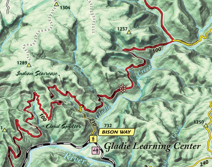
Sample of Bird's Eye View 3D trail map, 5th Edition - Sample of Bird's Eye View 3D trail map, 5th Edition
[img]http://www.outragegis.com/store/images/T/th_Gorge.jpg[/img]
Buy this map
Sample of Bird's Eye View 3D trail map, 5th Edition - Sample of Bird's Eye View 3D trail map, 5th Edition [img]http://www.outragegis.com/store/images/T/th_Gorge.jpg[/img] Buy this map
