Home / Search results 84

 Reverse side of map showing inset maps and elevation profile.
Reverse side of map showing inset maps and elevation profile. - Reverse side of map showing inset maps and elevation profile. 11" x 34" inch spread of the entire park at 1:32,000 scale. Map is divided into two 11"x17"
11" x 34" inch spread of the entire park at 1:32,000 scale. Map is divided into two 11"x17" - 11" x 34" inch spread of the entire park at 1:32,000 scale. Map is divided into two 11"x17"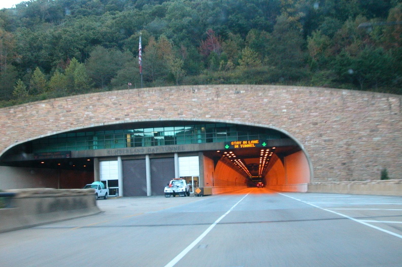 Sun 01 Oct 2006 06:57:54 PM EDT
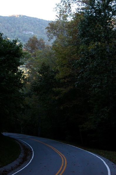 Sun 01 Oct 2006 06:22:44 PM EDT
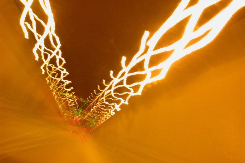 Through Cumberland Gap Tunnel
Sun 01 Oct 2006 06:58:24 PM EDT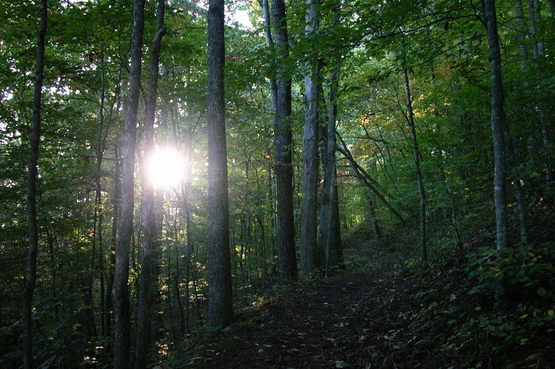 Sun 01 Oct 2006 06:18:00 PM EDT
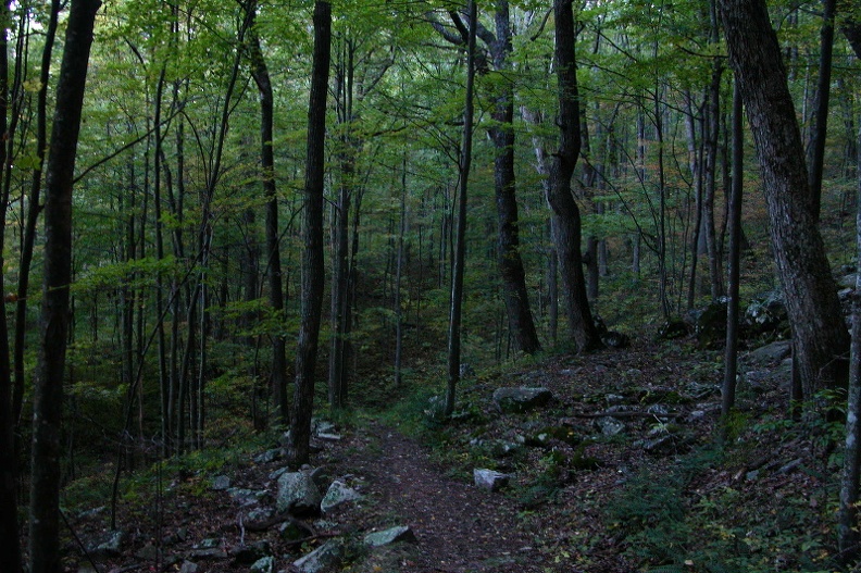 Sun 01 Oct 2006 05:46:20 PM EDT
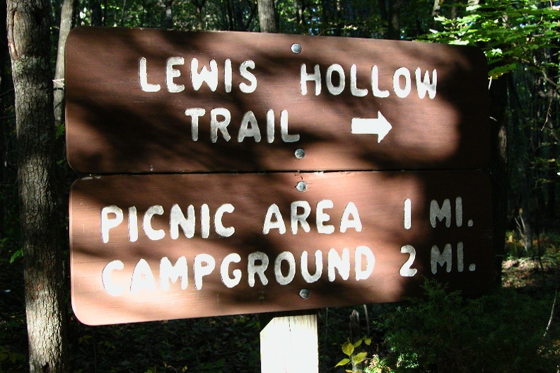 Sun 01 Oct 2006 05:35:45 PM EDT
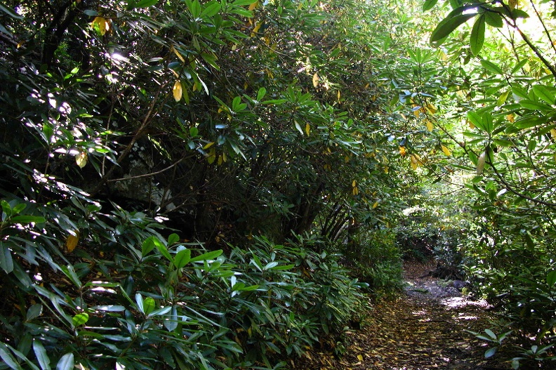 Sun 01 Oct 2006 02:44:16 PM EDT
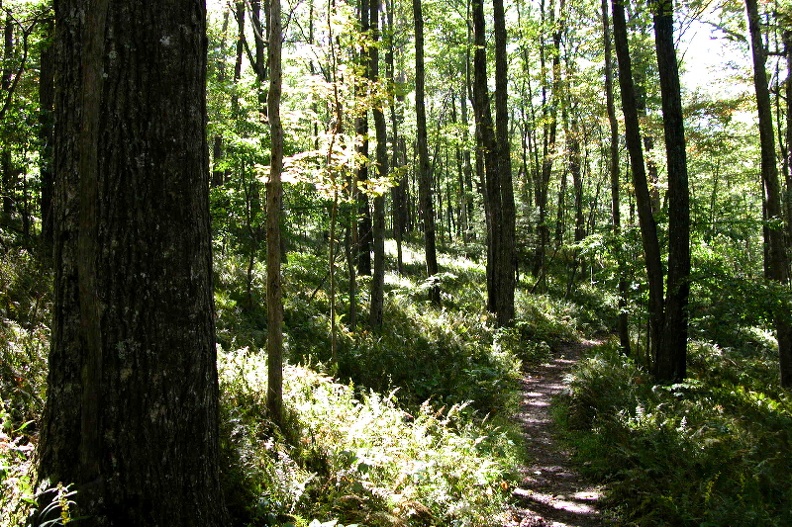 Sun 01 Oct 2006 02:33:38 PM EDT
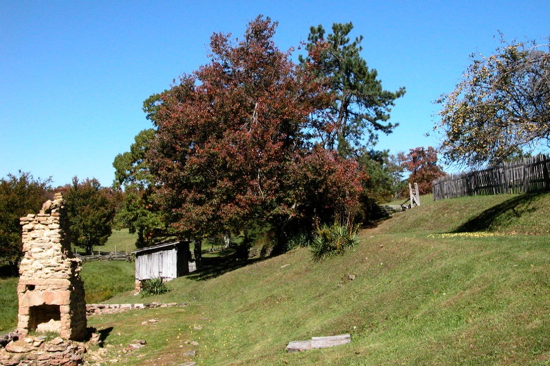 Sun 01 Oct 2006 01:55:13 PM EDT
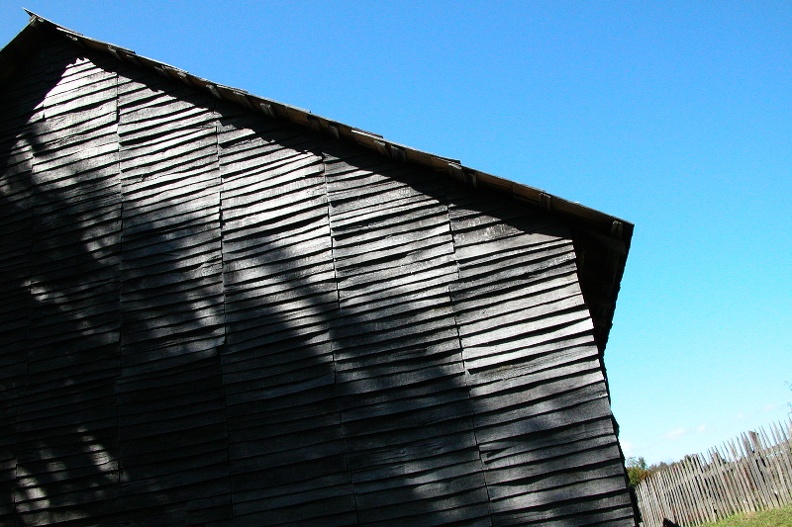 Sun 01 Oct 2006 01:49:18 PM EDT
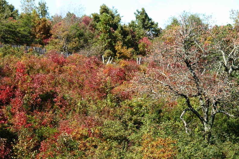 Sun 01 Oct 2006 01:53:41 PM EDT
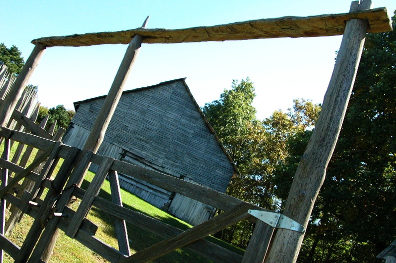 Sun 01 Oct 2006 01:54:41 PM EDT
 Sun 01 Oct 2006 01:57:44 PM EDT