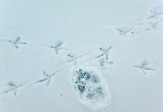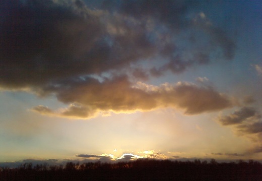
Dec 21: First Day of Winter in Lexington
A walk around downtown Lexington, campus, and the arboretum. Wind advisory from national weather service. 24°F at beginning, and 15°F when finished. Wind speeds highest atop the arboretum and westerly. Wind chill probably 0°F. Tremendous atmospheric claA walk around downtown Lexington, campus, and the arboretum. Wind advisory from national weather service. 24°F at beginning, and 15°F when finished. Wind speeds highest atop the arboretum and westerly. Wind chill probably 0°F. Tremendous atmospheric clarity and noticed a few psychedelic multi-colored clouds via cloud iridescence. Few people out and counted maybe a half-dozen pedestrians and one biker in full-body thermal glove. First punch of truly arctic air in Lexington with weather we haven't seen in over a year.
The first photograph is from Thursday and shows the appalling weather that preceded today majestic chill.
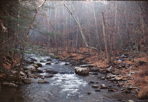
Nov 24-29: Elkmont, Great Smoky Mountains National Park
Elkmont Campground, Cucumber Gap Trail, Little River Trail, Husky Gap Trail, Sugarland Mountain Trail, Jakes Gap Trail, Miry Ridge Trail, Dripping Springs Mountain, and campsites 26, 27, 21. Mixed film from old 35mm and super-mini digital camera.Elkmont Campground, Cucumber Gap Trail, Little River Trail, Husky Gap Trail, Sugarland Mountain Trail, Jakes Gap Trail, Miry Ridge Trail, Dripping Springs Mountain, and campsites 26, 27, 21. Mixed film from old 35mm and super-mini digital camera.
This area is covered in our Great Smoky Mountains Trail Map:
[img]http://www.outragegis.com/store/images/T/GRSM-Map-Icon-Small.jpg[/img]
Buy this map
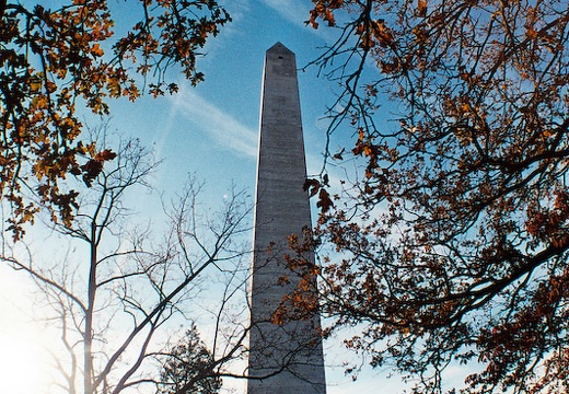
Nov 2: Jefferson Davis State Historic Site
Jefferson Davis, the President of the Confederate States of the America, was in Christian County, Kentucky on June 3, 1808. He is memorialized here with a 351-foot obelisk monument and a Kentucky state park. Construction, 1917-1924.Jefferson Davis, the President of the Confederate States of the America, was in Christian County, Kentucky on June 3, 1808. He is memorialized here with a 351-foot obelisk monument and a Kentucky state park. Construction began in 1917 and was completed in 1924 after a period of rationing during WWI. It is the tallest concrete obelisk in the world. Abraham Lincoln was born a few months later and less than 100 miles to the north in Hodgenville, Ky. That site is a national park, Abraham Lincoln Birthplace National Historic Site. Without making too fine a point, a historic national election is in merely two days.
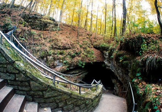
Nov 1: Mammoth Cave National Park
The Green River Overlook, the historic entrance & spring.The Green River Overlook, the historic entrance & spring.

Oct 26: Lexington & University of Kentucky
A cruise around downtown Lexington, the University of Kentucky Campus, and the Arboretum. A study of sunsets and sunrises behind downtown landscapes.

Oct 25: Cave Run Lake & Sheltowee Trace Northern Terminus
A hop on the Sheltowee Trace near the dam and northern terminus. Trail cleaning party was encountered just south of the terminus. I.B. Me believes that the only way to save trails is to use them. Simple but great insight.A hop on the Sheltowee Trace near the dam and northern terminus. Trail cleaning party was encountered just south of the terminus. I.B. Me believes that the only way to save trails is to use them. Simple but great insight.
This area is covered in our Cave Run Lake Trail Map:
[img]http://www.outragegis.com/store/images/T/th_CaveRun.jpg[/img]
Buy this map
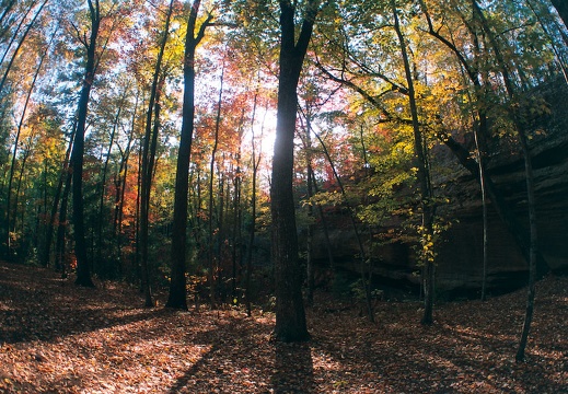
Oct 24: Hanson's Point & Sky Bridge, Red River Gorge
The Red in full fall splendor. A camping trip at Koomer Ridge with Meredith and Julia. No bears thank goodness.The Red in full fall splendor. A camping trip at Koomer Ridge with Meredith and Julia. No bears thank goodness.
This area is covered in our Red River Gorge Trail Map:
[img]http://www.outragegis.com/store/images/T/th_Gorge.jpg[/img]
Buy this map

Oct 11: Auxier Ridge, Red River Gorge
Moon rise over Ravens Rock in the Red.Moon rise over Ravens Rock in the Red.
This area is covered in our Red River Gorge Trail Map:
[img]http://www.outragegis.com/store/images/T/th_Gorge.jpg[/img]
Buy this map

Sep 19: Furnace Arch, Cave Run Lake
Pixel and pup Sally tackle the 6-mile round trip hike to Furnace Arch looking for a great photo.Pixel and pup Sally tackle the 6-mile round trip hike to Furnace Arch looking for a great photo.
This area is covered in our Cave Run Lake Trail Map:
[img]http://www.outragegis.com/store/images/T/th_CaveRun.jpg[/img]
Buy this map
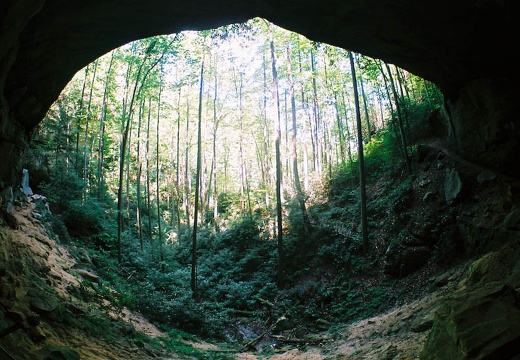
Sep 18: D. Boone Hut, Red River Gorge
Pixel and Sally play in the creek during their first trail trek together.Pixel and Sally play in the creek during their first trail trek together.
This area is covered in our Red River Gorge Trail Map:
[img]http://www.outragegis.com/store/images/T/th_Gorge.jpg[/img]
Buy this map
Jul 1: Pinch 'Em Tight, Red River Gorge
Sheltowee Trace, Buck Creek, Chimney Top Creek, Buck RidgeSheltowee Trace, Buck Creek, Chimney Top Creek, Buck Ridge.
This area is covered in our Red River Gorge Trail Map:
[img]http://www.outragegis.com/store/images/T/th_Gorge.jpg[/img]
Buy this map
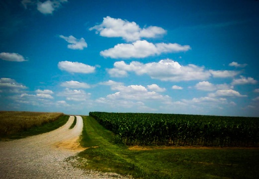
Jun 14-18: Cumberland River, Clarksville, TN
Branch Bend, Tennessee, Rotary Park mountain biking, Pennyrile Plain wheat farming Todd County, KentuckyBranch Bend, Tennessee, Rotary Park mountain biking, Pennyrile Plain wheat farming Todd County, Kentucky.
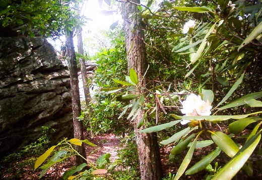
Jun 20: Furnace Arch, Sheltowee Trace
Clear Creek Iron Furnace, Sheltowee Trace, The Sinks, Stone Quarry CreekClear Creek Iron Furnace, Sheltowee Trace, The Sinks, Stone Quarry Creek. Trying to use (and justify) a camera phone. Quality not up to snuff, but very portable.
This area is covered in our Cave Run Lake Trail Map:
[img]http://www.outragegis.com/store/images/T/th_CaveRun.jpg[/img]
Buy this map

Jun 13: Parched Corn Creek, Red River Gorge
Angel's Windows, Scull Cap Rock, Frankenstein Rock, Gravity Rock, Cimabue's Cave, Hattie's WindowAngel's Windows, Scull Cap Rock, Frankenstein Rock, Gravity Rock, Cimabue's Cave, Hattie's Window.
This area is covered in our Red River Gorge Trail Map:
[img]http://www.outragegis.com/store/images/T/th_Gorge.jpg[/img]
Buy this map
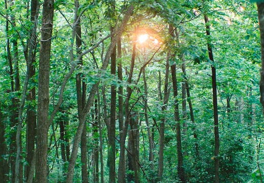
Jun 10: McConnell Springs, Lexington
Town Branch Trail Phase III, urban open space after capped landfillMcConnell Springs is a city park and historic landmark and connects with Town Branch Trail Phase III. Urban open space after capped landfill.
Jun 7: Buck Creek Trail, Cave Run Lake
Clear Creek Iron Furnace, Sheltowee Trace, Zilpo National Scenic Byway, Trail 118, Heron's nest on Cave Run Lake

May 31: Sheltowee Trace Northern Terminus
Rowan County, Kentucky

May 13: Swift Camp Creek, Red River Gorge
After Mother's Day flooding event where intense weather impacted much of eastern Kentucky, with 2 confirmed tornadoes just east of the Daniel Boone National Forest. Swift Camp Creek had 100-yard stretches of log jams from trees felled by flash flooding anAfter Mother's Day flooding event where intense weather impacted much of eastern Kentucky, with 2 confirmed tornadoes just east of the Daniel Boone National Forest. Swift Camp Creek had 100-yard stretches of log jams from trees felled by flash flooding and wind damage.
This area is covered in our Red River Gorge Trail Map:
[img]http://www.outragegis.com/store/images/T/th_Gorge.jpg[/img]
Buy this map
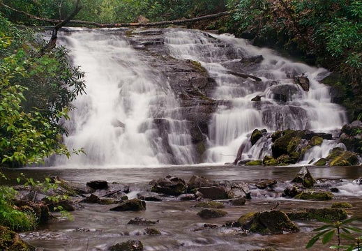
May 2-3: Deep Creek & Bradley Fork, Great Smoky Mountains
Trout fishing along Deep Creek and Bradley in the Great Smoky Mountains National Park. Hoped for fat rainbow trout or the elusive brookie.Trout fishing along Deep Creek and Bradley in the Great Smoky Mountains National Park. Hoped for fat rainbow trout or the elusive brookie, but took only snapshots. Juney Whank Falls, Indian Creek Falls, Deep Creek Campground.
This area is covered in our Great Smoky Mountains Trail Map:
[img]http://www.outragegis.com/store/images/T/GRSM-Map-Icon-Small.jpg[/img]
Buy this map

April 11: Red River Gorge
Pinch 'Em Tight, Rough Trail, and Sheltowee TraceThis area is covered in our Red River Gorge Trail Map:
[img]http://www.outragegis.com/store/images/T/th_Gorge.jpg[/img]
Buy this map
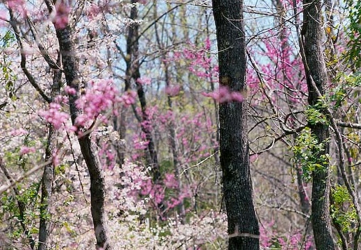
April 18-19: Big South Fork, Station Camp Creek
John Muir Trail and Bandy CreekJohn Muir Trail and Bandy Creek
This area is covered in our Big South Fork Trail Map:
[img]http://www.outragegis.com/store/images/T/th_BISO_Cover-125w.jpg[/img]
Buy this map
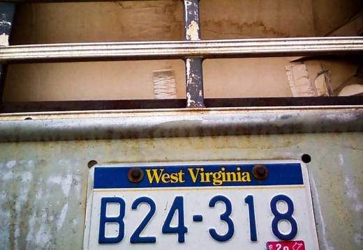
Mar 26-30: Marshall University Campus
Appalachian Studies Association Conference. Huntington, West Virginia.
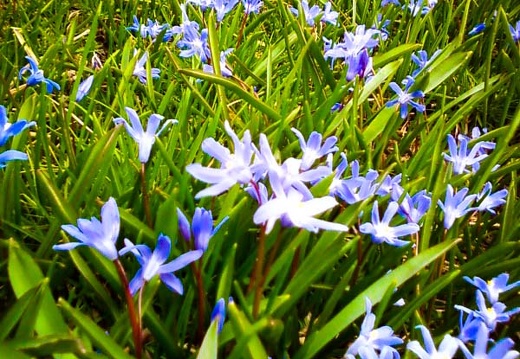
Mar 26: Spring in Downtown Lexington
Night Lights. Flowers.

Mar 17-23: Downtown Lexington
Sweet 16. Holy Week.

Mar 8: Downtown Lexington
An excursion through Lexington just after a snow storm. The storm dropped about 5 inches of snow downtown and was accompanied by thundersleet in the opening hours of the event. Our humble downtown was further rocked by the appearance of country music starAn excursion through Lexington just after a snow storm. The storm dropped about 5 inches of snow downtown and was accompanied by thundersleet in the opening hours of the event. Our humble downtown was further rocked by the appearance of country music star Kenny Chesney.
Nov 21-24: Great Smoky Mountains National Park
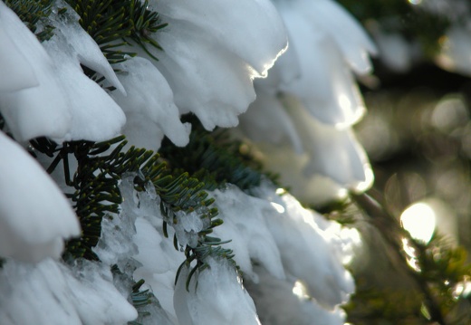
Elkmont, Little River, Rough Creek, Sugarland Mountain, Laurel Falls, Appalachian Trail, Mt. Kephart, The Jumpoff. Ice world on the AT with mile-high rime and frozen armor.Elkmont, Little River, Rough Creek, Sugarland Mountain, Laurel Falls, Appalachian Trail, Mt. Kephart, The Jumpoff. Ice world on the AT with mile-high rime and frozen armor.
This area is covered in our Great Smoky Mountains Trail Map:
[img]http://www.outragegis.com/store/images/T/GRSM-Map-Icon-Small.jpg[/img]
Buy this map

Mar 1: Chimney Top Creek and Rush Ridge
The ridges and quiet streams along the Power Loop in the Red River Gorge. This approximately 10-mile loop is the classic backpacker's overnight. With easy access to good water, great views, and lonely campsites, this is heart of the hiker's Red River GorgThe ridges and quiet streams along the Power Loop in the Red River Gorge. This approximately 10-mile loop is the classic backpacker's overnight. With easy access to good water, great views, and lonely campsites, this is heart of the hiker's Red River Gorge.
This area is covered in our Red River Gorge Trail Map:
[img]http://www.outragegis.com/store/images/T/th_Gorge.jpg[/img]
Buy this map
Mar 2: Downtown Lexington
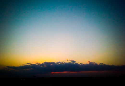
A Sunday stroll along downtown streets, parking towers, and the area where Town Branch emerges below Rupp Arena.
July 14: Amburgy Rocks, Cave Run Lake
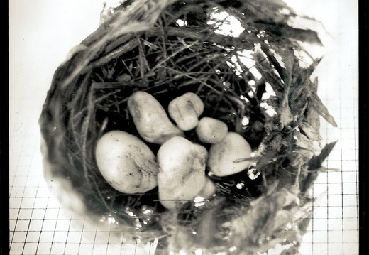
US 60, Sheltowee Trace, Big Limestone, Little Limestone, Amburgy Rocks, Triplett Creek, US 60. Daniel Boone National Forest.US 60, Sheltowee Trace, Big Limestone, Little Limestone, Amburgy Rocks, Triplett Creek, US 60. Daniel Boone National Forest.
This area is covered in our Cave Run Lake Trail Map:
[img]http://www.outragegis.com/store/images/T/th_CaveRun.jpg[/img]
Buy this map

Nov 12: Red River Gorge
Trails from Gray's Arch to Koomer Ridge, Chimney Top Creek, Sheltowee Trace, Buck Ridge, and Pinch 'Em Tight all with a plastic lens, lofi camera phone. On the upside, my nikon now gets great reception.Trails from Gray's Arch to Koomer Ridge, Chimney Top Creek, Sheltowee Trace, Buck Ridge, and Pinch 'Em Tight all with a plastic lens, lofi camera phone. On the upside, my nikon now gets great reception.
This area is covered in our Red River Gorge Trail Map:
[img]http://www.outragegis.com/store/images/T/th_Gorge.jpg[/img]
Buy this map

Oct 29-30: Great Smoky Mountains National Park
Cades Cove, Abrams Falls, Rocky Top, Appalachian Trail all with a wacky 35mm fisheye lens. Trippy experimentation with melted sand.Cades Cove, Abrams Falls, Rocky Top, Appalachian Trail all with a 35mm fisheye lens. Perfect autumn weather.
This area is covered in our Great Smoky Mountains Trail Map:
[img]http://www.outragegis.com/store/images/T/GRSM-Map-Icon-Small.jpg[/img]
Buy this map

Oct 27: Blue Heron, Big South Fork
The last days of the Nikon camera. Blue Heron Loop, Kentucky Trail, Catawba Overlook, Dick Gap Falls, Big Creek Falls, Dick Gap Overlook. Two big muddy dogs are twice as fun.The last days of the Nikon camera. Blue Heron Loop, Kentucky Trail, Catawba Overlook, Dick Gap Falls, Big Creek Falls, Dick Gap Overlook. Two big muddy dogs are twice as fun.
This area is covered in our Big South Fork Trail Map:
[img]http://www.outragegis.com/store/images/T/th_BISO_Cover-125w.jpg[/img]
Buy this map
