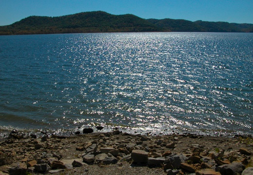
Oct 20: Tater Knob, Cave Run Lake
Lakeview Vista, old farm near tailwater, Tater Knob Trail, Buck Creek Trail, road 918A, Tater Knob Fire Tower at sunset. Hiked up oldman Ansel to the tip-top of Cave Run Lake: Tater Knob Fire Tower. It's the hifi 4x5.Lakeview Vista, old farm near tailwater, Tater Knob Trail, Buck Creek Trail, road 918A, Tater Knob Fire Tower at sunset. Hiked up oldman Ansel to the tip-top of Cave Run Lake: Tater Knob Fire Tower. It's the hifi 4x5.
This area is covered in our Cave Run Lake Trail Map:
[img]http://www.outragegis.com/store/images/T/th_CaveRun.jpg[/img]
Buy this map

Oct 9-14: Forest Park, St. Louis, MO
Lunch time trips to Forest Park during the North American Cartographic Information Society, NACIS, conference meeting in St. Louis. Conference site: Frontenac Hilton. Photos shot with a nifty camera phone. "Forest Park, officially opened to the puLunch time trips to Forest Park during the North American Cartographic Information Society, NACIS, conference meeting in St. Louis. Conference site: Frontenac Hilton. Photos shot with a nifty camera phone. "Forest Park, officially opened to the public on June 24, 1876, is one of the largest urban parks in the United States. At 1,293 acres, it is approximately 500 acres larger than Central Park in New York. In 1904, the Louisiana Purchase Exposition..The St. Louis World's Fair...drew more than 20 million visitors from around the world to Forest Park." The Jewel Box, The Art Museum, The Zoo, Gateway Arch, Jefferson National Expansion Memorial
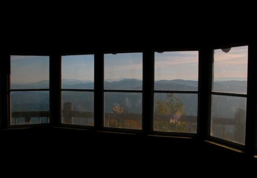
Sept 1 - Oct 2: Great Smoky Mountains National Park
Cosby Camground, Gabes Mountain Trail, Bear Neck Gap, Hen Wallow Falls, Cosby Creek, sunrise hike up Low Gap Trail, Low Gap, Appalachian Trail, Sunup Knob, Mt. Cammerer Lookout, and then backdown. Clingman's Dome, Chimney Tops, Cosby Picnic Area. OverlookCosby Camground, Gabes Mountain Trail, Bear Neck Gap, Hen Wallow Falls, Cosby Creek, sunrise hike up Low Gap Trail, Low Gap, Appalachian Trail, Sunup Knob, Mt. Cammerer Lookout, and then backdown. Clingman's Dome, Chimney Tops, Cosby Picnic Area. Overlook bonaza as often found in Great Smokies.
This area is covered in our Great Smoky Mountains Trail Map:
[img]http://www.outragegis.com/store/images/T/GRSM-Map-Icon-Small.jpg[/img]
Buy this map
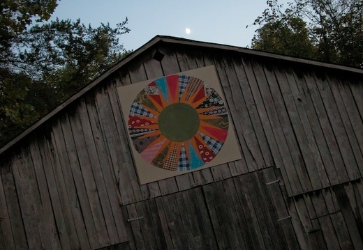
Aug 20: Sheltowee Trace, Red River Gorge
Sheltowee Trace suspension bridge, Bison Way Trailhead, Gladie Creek, Indian Arch, Red River.Sheltowee Trace suspension bridge, Bison Way Trailhead, Gladie Creek, Indian Arch, Red River.
This area is covered in our Red River Gorge Trail Map:
[img]http://www.outragegis.com/store/images/T/th_Gorge.jpg[/img]
Buy this map
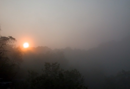
Sept 2-3: Rockcastle Loop, Daniel Boone NF
Summer is slipping away and the fog creeps onto the ridge tops. Lake Cumberland is low and the campsites are forlorn. The high vistas are dry and crackle with dead pine trees. Staggering pins of trees withered by the menacing pine beetle.
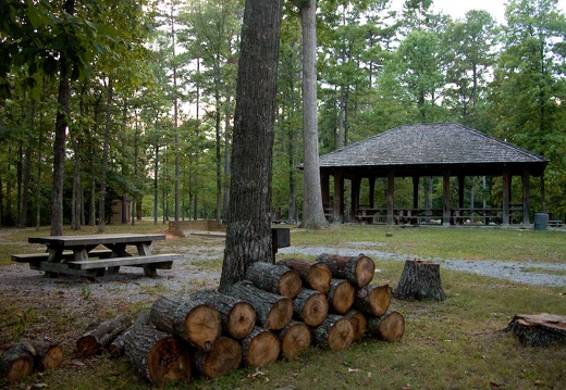
August 26: Natural Arch Scenic Area, Daniel Boone NF
Alpine Recreation Area, Natural Arch Scenic Area, trail 508, trail 510, Buffalo Canyon, Big Cutoff, Chimney Arch, Gulf Fork, Great Gulf, Cooper Creek, Spruce Creek, Natural Arch.
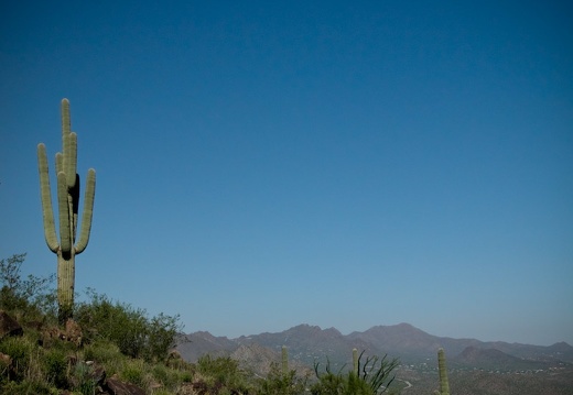
Aug 9-10: Tonto National Forest & Tumamoc Hill, Arizona
Tonto National Forest, Canyon Lake, and Tortilla Flats northwest of Phoenix. Tumamoc Hill Desert Labratory, Tucson. Arizona.

Aug 7: Mt. Lemmon, Coronado National Forest
Santa Catalina Mountains, Tucson, Arizona.
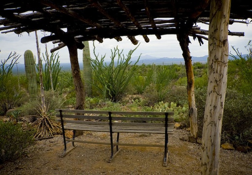
Aug 5: Arizona-Sonora Desert Museum
Saguaro National Park
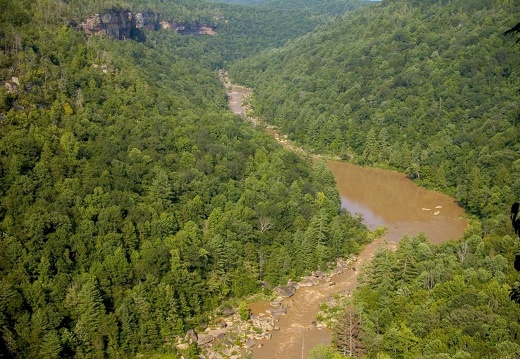
July 29: John Muir Trail, Big South Fork
Leatherwood Ford, John Muir Trail, O&W Bridge, Devil's Den, Jake's Hole Overlook, Leatherwood Loop, Leatherwood Overlook, Sunset Trailhead, Leatherwood Ford, Big South Fork National River and Recreation Area.Leatherwood Ford, John Muir Trail, O&W Bridge, Devil's Den, Jake's Hole Overlook, Leatherwood Loop, Leatherwood Overlook, Sunset Trailhead, Leatherwood Ford, Big South Fork National River and Recreation Area.
This area is covered in our Big South Fork Trail Map:
[img]http://www.outragegis.com/store/images/T/th_BISO_Cover-125w.jpg[/img]
Buy this map
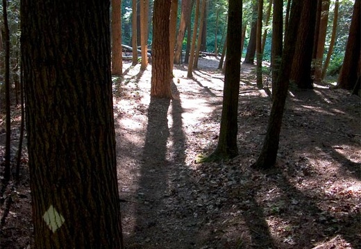
July 21: Power Loop Hike, Red River Gorge
Pinch 'Em Tight Trailhead, Buck Ridge, Koomer Ridge, 22 Windows, Bug Head Rock, Chimney Top Creek, Sheltowee Trace, Pinch 'Em Tight Gap, Corrosion Cove, Second Story, Rush Ridge, Rush Creek, Gray's Arch, Butterfly Hill, Pinch 'Em Tight Trailhead.Pinch 'Em Tight Trailhead, Buck Ridge, Koomer Ridge, 22 Windows, Bug Head Rock, Chimney Top Creek, Sheltowee Trace, Pinch 'Em Tight Gap, Corrosion Cove, Second Story, Rush Ridge, Rush Creek, Gray's Arch, Butterfly Hill, Pinch 'Em Tight Trailhead.
9 mile and some change loop in the heart of the Red River Gorge.
This area is covered in our Red River Gorge Trail Map:
[img]http://www.outragegis.com/store/images/T/th_Gorge.jpg[/img]
Buy this map
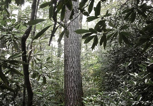
July 8: Swift Camp Creek, Red River Gorge
Rough Trail trailhead, Angel's Windows, Swift Camp Creek, Don Juan Garden, Steamboat Rock, Icebox Cave, Clifty Wilderness, Red River Gorge, Daniel Boone National Forest.Rough Trail trailhead, Angel's Windows, Swift Camp Creek, Don Juan Garden, Steamboat Rock, Icebox Cave, Clifty Wilderness, Red River Gorge, Daniel Boone National Forest.
This area is covered in our Red River Gorge Trail Map:
[img]http://www.outragegis.com/store/images/T/th_Gorge.jpg[/img]
Buy this map
May 27-28: Pine Mountain Trail, Pike County, Kentucky
Elkhorn City police station trailhead, pay-pond fish camp, KY-VA stateline on ridge, Elkhorn City overlook, Skegg Wall overlook, oil wells?, pea gravel quarry, Gold Fish Pond, Jefferson National Forest, Skeet Knob, back to Elkhorn City.Elkhorn City police station trailhead, pay-pond fish camp, KY-VA stateline on ridge, Elkhorn City overlook, Skegg Wall overlook, oil wells?, pea gravel quarry, Gold Fish Pond, Jefferson National Forest, Skeet Knob, back to Elkhorn City.
Apr 2: Pinch 'Em Tight, Red River Gorge
Moonrise over Chimney Top Creek and Sheltowee Trace, Red River Gorge. Sheltowee Trace.Moonrise over Chimney Top Creek and Sheltowee Trace, Red River Gorge. Sheltowee Trace.
This area is covered in our Red River Gorge Trail Map:
[img]http://www.outragegis.com/store/images/T/th_Gorge.jpg[/img]
Buy this map
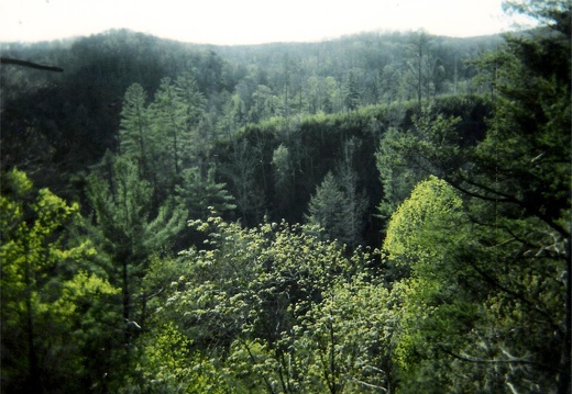
Apr 29: Hidden Passage & Rock Creek Trails, Pickett SP
Southern terminus Sheltowee Trace, Crystal Falls, Thompson Creek, Rock Creek, Tunnel, and back to trailhead. Pickett State Park Tennessee.Southern terminus Sheltowee Trace, Crystal Falls, Thompson Creek, Rock Creek, Tunnel, and back to trailhead. Pickett State Park Tennessee.
This area is covered in our Big South Fork Trail Map:
[img]http://www.outragegis.com/store/images/T/th_BISO_Cover-125w.jpg[/img]
Buy this map
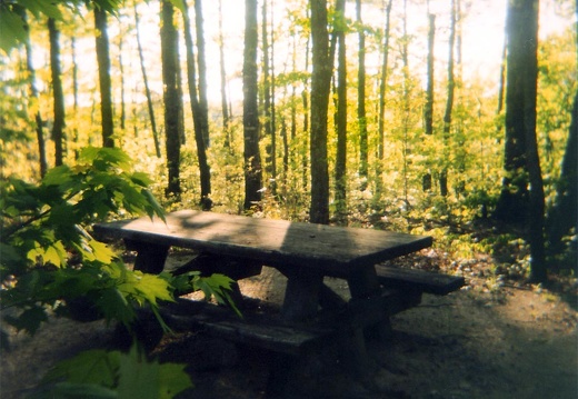
May 1: Gray's Arch, Red River Gorge
Loop starting at Gray's Arch Picnic Area to Rush Ridge, Gray's Arch, and back to trailhead.This area is covered in our Red River Gorge Trail Map:
[img]http://www.outragegis.com/store/images/T/th_Gorge.jpg[/img]
Buy this map
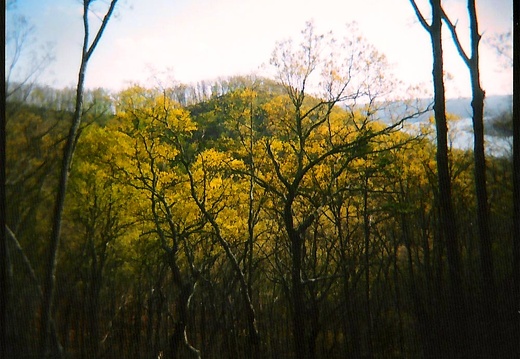
Apr 4: Cave Run Lake, Daniel Boone National Forest
A jaunt around Clear Creek Furnace and Lakeview trails. Last 2 shots show formidable cloud deck that ushered in some nasty storms for Lexington. Sheltowee Trace.A jaunt around Clear Creek Furnace and Lakeview trails. Last 2 shots show formidable cloud deck that ushered in some nasty storms for Lexington. Sheltowee Trace.
This area is covered in our Cave Run Lake Trail Map:
[img]http://www.outragegis.com/store/images/T/th_CaveRun.jpg[/img]
Buy this map

June 30-July 1: John Muir Trail, Grand Gap Loop, Big South Fork
Leatherwood Ford, Big South Fork of the Cumberland River, John Muir Trail, Fall Branch, Angels Falls, Grand Gap Loop Trail, Angel Overlooks, Leatherwood Ford.Leatherwood Ford, Big South Fork of the Cumberland River, John Muir Trail, Fall Branch, Angels Falls, Grand Gap Loop Trail, Angel Overlooks, Leatherwood Ford.
This area is covered in our Big South Fork Trail Map:
[img]http://www.outragegis.com/store/images/T/th_BISO_Cover-125w.jpg[/img]
Buy this map

July 2: Paris, Bourbon County, Kentucky
Paris is the county seat of Bourbon County, whihch borders Fayette County (Lexington) to the northeast. As you can read on the courthouse square historical marker, the county was named in honor of French royalty after the Revolutionary War.Paris is the county seat of Bourbon County, whihch borders Fayette County (Lexington) to the northeast. As you can read on the courthouse square historical marker, the county was named in honor of French royalty after the Revolutionary War.

Mar 31: Bee Rock, Van Hook Falls
Day excursion around the Rockcastle Narrows loop and Sublimity. Pixel step on a Rat'ler on the Winding Gap Trail spur but thankfully the serpent only gummed him. Sheltowee Trace.
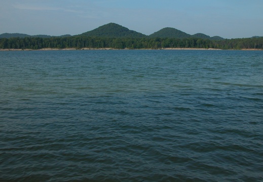
June 23-24: Pioneer Weapons, Yocum Creek, Cave Run Lake
Pioneer Weapons: Trail 112 Cave Run Trail, Peter Cave Run, Trail 113 Buckskin Trail, Reynolds Hollow, Trail 112, Trail 107 Cross Over Trail, Zilpo Scenic Road. Yocum Creek: Ditney Ridge, Sargent Branch Falls, Han's Branch, Yocum Creek, McClurg Branch,Pioneer Weapons: Trail 112 Cave Run Trail, Peter Cave Run, Trail 113 Buckskin Trail, Reynolds Hollow, Trail 112, Trail 107 Cross Over Trail, Zilpo Scenic Road. Yocum Creek: Ditney Ridge, Sargent Branch Falls, Han's Branch, Yocum Creek, McClurg Branch, Thompson Glen.
This area is covered in our Cave Run Lake Trail Map:
[img]http://www.outragegis.com/store/images/T/th_CaveRun.jpg[/img]
Buy this map

May 24: Rock Garden Trail, Natural Bridge SRP
Scenic trails in Natural Bridge State Resort ParkScenic trails in Natural Bridge State Resort Park
This area is covered in our Red River Gorge Trail Map:
[img]http://www.outragegis.com/store/images/T/th_Gorge.jpg[/img]
Buy this map
June 16-17: Laurel Fork Creek, Pilot-Wines, Big South Fork
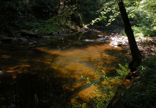
Bandy Creek West Entrance trailhead, Laurel Fork Creek Trail, old beaver dam, Indian Rockhouse, Slave Falls Loop, Sawmill Trailhead, Bandy Creek Campground. Station Camp East trailhead, Pilot-Wines Loop, Pilot Knob, Williams Creek, Big South Fork River swBandy Creek West Entrance trailhead, Laurel Fork Creek Trail, old beaver dam, Indian Rockhouse, Slave Falls Loop, Sawmill Trailhead, Bandy Creek Campground. Station Camp East trailhead, Pilot-Wines Loop, Pilot Knob, Williams Creek, Big South Fork River swimming hole, Big Island Road, Station Camp East trailhead.
This area is covered in our Big South Fork Trail Map:
[img]http://www.outragegis.com/store/images/T/th_BISO_Cover-125w.jpg[/img]
Buy this map
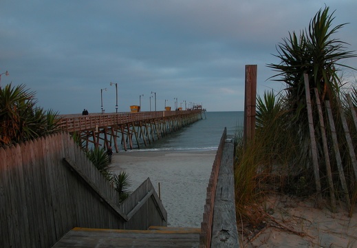
May 14-22: Bogue Bank & Cape Lookout, North Carolina
The Beach @ Mom's

May 8: D. Boone Hut & Martin's Fork, Red River Gorge
This area is covered in our Red River Gorge Trail Map:
[img]http://www.outragegis.com/store/images/T/th_Gorge.jpg[/img]
Buy this map
April 21: Pine Mountain, Laurel Cove Trail
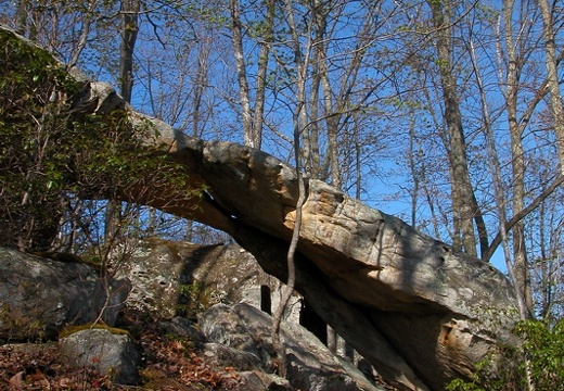
Pine Mountain State Resort Park. Laurel Cove up to Chained Rock and back down. Repeat. Bear odor, or something animal, but Pixel was unconcerned. Pine Mountain State Resort Park. Laurel Cove up to Chained Rock and back down. Repeat. Bear odor, or something animal, but Pixel was unconcerned.

Mar 27: Sheltowee Trace, Natural Bridge to Whites Br.
This area is covered in our Red River Gorge Trail Map:
[img]http://www.outragegis.com/store/images/T/th_Gorge.jpg[/img]
Buy this map

Mar 18-19: Yahoo Falls Scenic Area, Big South Fork
Alum Ford Campground, Yahoo Falls, Yahoo Arch, Negro Creek, Alum Ford, Yahoo Falls, Sheltowee Trace. Medium format cameras used were Holga with Kodak color film and 4x5 with blue-sensitive paper negatives for an old-time look. Alum Ford Campground, Yahoo Falls, Yahoo Arch, Negro Creek, Alum Ford, Yahoo Falls, Sheltowee Trace. Medium format cameras used were Holga with Kodak color film and 4x5 with blue-sensitive paper negatives for an old-time look.
This area is covered in our Big South Fork Trail Map:
[img]http://www.outragegis.com/store/images/T/th_BISO_Cover-125w.jpg[/img]
Buy this map
Mar 10-11: Dog Slaughter Falls Sheltowee Trace
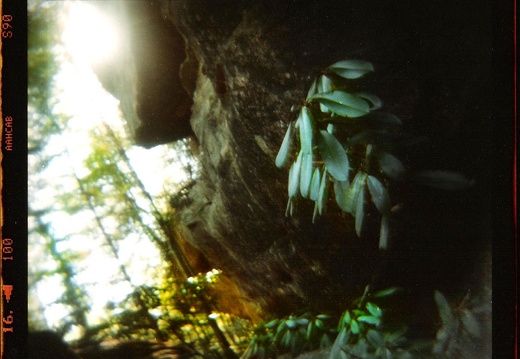
Cumberland Falls State Resort Park, Moonbow Trail, Sheltowee Trace, Cumbrland River, Dog Slaughter Falls, Trail 2, Pinnacle Fire Tower, Cumberland River, Hwy 90 Bridge, Cumberland Falls. Laurel County, Kentucky.Cumberland Falls State Resort Park, Moonbow Trail, Sheltowee Trace, Cumbrland River, Dog Slaughter Falls, Trail 2, Pinnacle Fire Tower, Cumberland River, Hwy 90 Bridge, Cumberland Falls. Laurel County, Kentucky.

Feb 11: Broke Leg Falls, Menifee County, KY
Broke Leg Falls is located on the eastern edge of the Daniel Boone National Forest and is a historic roadside rest during the early national highway days. The building of the Mountain Parkway interstate was the beginning of Broke Leg's decline.Broke Leg Falls is located on the eastern edge of the Daniel Boone National Forest and is a historic roadside rest during the early national highway days. The building of the Mountain Parkway interstate was the beginning of Broke Leg's decline.

Feb 1-2: Michler's Florist and Henry Clay Estate, Lexington
Dusted off the Calumet 4x5 and took it to a hot house on a snowy February afternoon. Lexington, Kentucky.Dusted off the Calumet 4x5 and took it to a hot house on a snowy February afternoon. Lexington, Kentucky.

Dec 27: Cabela's Outdoor Retail, Dundee, Michigan
"Cabela's Dundee Retail Store is located just southwest of Detroit off U.S. Highway 23. In addition to offering quality outdoor merchandise, the massive 225,000 sq. ft. showroom is an educational and entertainment attraction, featuring a décor of mus"Cabela's Dundee Retail Store is located just southwest of Detroit off U.S. Highway 23. In addition to offering quality outdoor merchandise, the massive 225,000 sq. ft. showroom is an educational and entertainment attraction, featuring a décor of museum-quality animal displays, huge aquariums and trophy animals interacting in realistic re-creations of their natural habitats."

Jan 6: Furnace Arch, Cave Run Lake
A warm winter day hike south of the Clear Creek Iron Furnace. A warm winter day hike south of the Clear Creek Iron Furnace.
This area is covered in our Cave Run Lake Trail Map:
[img]http://www.outragegis.com/store/images/T/th_CaveRun.jpg[/img]
Buy this map

Dec 14: Auxier Ridge, Red River Gorge
Auxier Ridge, Haystack Rock, views of Double Arch, Wizard's Backbone, Courthouse Rock.Auxier Ridge, Haystack Rock, views of Double Arch, Wizard's Backbone, Courthouse Rock.
This area is covered in our Red River Gorge Trail Map:
[img]http://www.outragegis.com/store/images/T/th_Gorge.jpg[/img]
Buy this map
