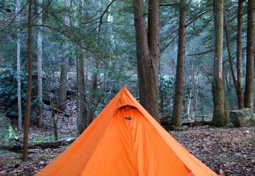
Nov 22-25: Elkmont, Great Smokey Mountains National Park
Elkmont Campground, Goshen Prong, Appalachian Trail, Mt. Buckeye, Clingman's Dome, Elkmont Resort, Little River, Cucumber Gap, Alum Cave Trail, Alum Bluff, Mt. LeConte & lodge, High Cliff, Peregrine PeakElkmont Campground, Goshen Prong, Appalachian Trail, Mt. Buckeye, Clingman's Dome, Elkmont Resort, Little River, Cucumber Gap, Alum Cave Trail, Alum Bluff, Mt. LeConte & lodge, High Cliff, Peregrine Peak.
This area is covered in our Great Smoky Mountains Trail Map:
[img]http://www.outragegis.com/store/images/T/GRSM-Map-Icon-Small.jpg[/img]
Buy this map
Nov 18: The Power Loop, Red River Gorge
Gray's Arch Trailhead, Buck Ridge, Koomer Ridge, Sheltowee Trace, Second Story, Gray's Arch, and back to trailhead. 9.5 miles, 2,400 vertical feet cummulative gain. Map 3 on the 1:12k-scale Red River Gorge Map.Gray's Arch Trailhead, Buck Ridge, Koomer Ridge, Sheltowee Trace, Second Story, Gray's Arch, and back to trailhead. 9.5 miles, 2,400 vertical feet cummulative gain. Map 3 on the 1:12k-scale Red River Gorge Map.
This area is covered in our Red River Gorge Trail Map:
[img]http://www.outragegis.com/store/images/T/th_Gorge.jpg[/img]
Buy this map
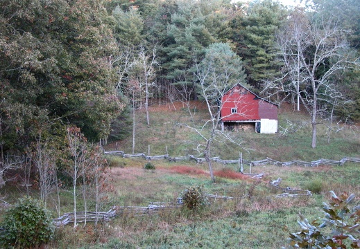
Oct 14-15: Litton & Blevins Farms, Charit Creek Lodge, Big South Fork
Bandy Creek Campground, Litton Farm Homestread, Oscar Blevins Homestead, Charit Creek Overlook, Charit Creek Lodge, Laurel Fork Creek, Blevins Farm Homestead.Bandy Creek Campground, Litton Farm Homestread, Oscar Blevins Homestead, Charit Creek Overlook, Charit Creek Lodge, Laurel Fork Creek, Blevins Farm Homestead.
This area is covered in our Big South Fork Trail Map:
[img]http://www.outragegis.com/store/images/T/th_BISO_Cover-125w.jpg[/img]
Buy this map
Sep 3: Leatherwood Ford and John Muir Trail, Big South Fork
Sunset OV Trailhead, Leatherwood OV, Leatherwood Ford, Fall Branch, Angel Falls OV, Rim Overlooks, and back to Sunset OV trailhead.Sunset OV Trailhead, Leatherwood OV, Leatherwood Ford, Fall Branch, Angel Falls OV, Rim Overlooks, and back to Sunset OV trailhead.
This area is covered in our Big South Fork Trail Map:
[img]http://www.outragegis.com/store/images/T/th_BISO_Cover-125w.jpg[/img]
Buy this map
July 29: D. Boone Hut, Red River Gorge
Gray's Arch Trailhead, D. Boone Hut, Martin's Fork, Military Wall and Left Flank Trails, Butterfly Hill, and back to Gray's Arch Trailhead. Gray's Arch Trailhead, D. Boone Hut, Martin's Fork, Military Wall and Left Flank Trails, Butterfly Hill, and back to Gray's Arch Trailhead.
This area is covered in our Red River Gorge Trail Map:
[img]http://www.outragegis.com/store/images/T/th_Gorge.jpg[/img]
Buy this map

July 21-26: Bogue Bank and Mt. Mitchell State Park, North Carolina
Emerald Isle, Bogue Bank Pier, mammatus clouds and cloudwall asccociated with tornado-producing line of storms, Fort Macon State Park, and Mt. Mitchell State Park and the Blue Ridge Parkway..Emerald Isle, Bogue Bank Pier, mammatus clouds and cloudwall asccociated with tornado-producing line of storms, Fort Macon State Park, and Mt. Mitchell State Park and the Blue Ridge Parkway.
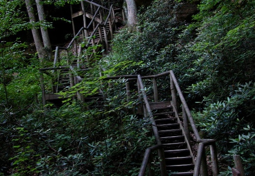
July 16: Natural Bridge State Resort Park
Hoedown Island, Cave, Balanced Rock Trail, Fat Man's Misery, Natural Bridge, Craggy Laurel Cove, Sky Lift, Battleship Rock OV, Lover's Leap, Needle's Eye Staircase, Devil's Gulch, Old Natural BridgeTrail.
This area is covered in our Red River Gorge Trail Map:
[img]http://www.outragegis.com/store/images/T/th_Gorge.jpg[/img]
Buy this map
June 10: Grays Arch, Red River Gorge
This area is covered in our Red River Gorge Trail Map:
[img]http://www.outragegis.com/store/images/T/th_Gorge.jpg[/img]
Buy this map
June 4: Big South Fork, Kentucky Trail & Gorge Overlooks
This area is covered in our Big South Fork Trail Map:
[img]http://www.outragegis.com/store/images/T/th_BISO_Cover-125w.jpg[/img]
Buy this map

May 29: Kentucky's Revolutionary & Civil War Battlefields
Blue Licks Battlefield State Resort Park (Revolutionary War) and Perryville Battlefield State Historic Site (Civil War). To learn more about Kentucky's war history, download the free audio driving tour and maps at [url=http://www.firstfrontier.org]The FiBlue Licks Battlefield State Resort Park (Revolutionary War) and Perryville Battlefield State Historic Site (Civil War). To learn more about Kentucky's war history, download the free audio driving tour and maps at The First Frontier Audio Driving Tour and post your own photos.

May 27: Parched Corn Creek, Red River Gorge
This area is covered in our Red River Gorge Trail Map:
[img]http://www.outragegis.com/store/images/T/th_Gorge.jpg[/img]
Buy this map
May 21: Cave Run and Buckskin Trails, Cave Run Lake
This area is covered in our Cave Run Lake Trail Map:
[img]http://www.outragegis.com/store/images/T/th_CaveRun.jpg[/img]
Buy this map

May 12: Clifty Wilderness, Red River Gorge
Swift Camp Creek Trail with Pixel and John
This area is covered in our Red River Gorge Trail Map:
[img]http://www.outragegis.com/store/images/T/th_Gorge.jpg[/img]
Buy this map
May 5-7: Kentucky Derby Weekend, West Tennessee
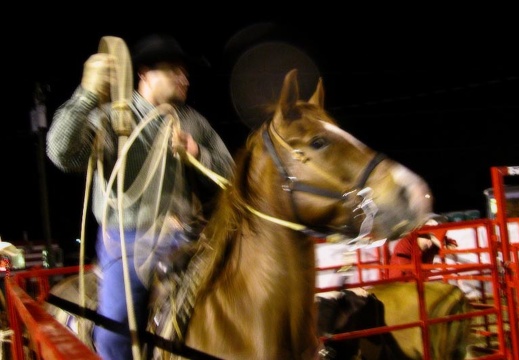
Austin Peay State University, the historic area of downtown Clarksville, Tennessee, night rodeo at the fairgrounds, Jefferson Davis Monument, Abraham Lincoln Birthplace National Historic Site.
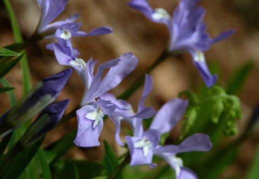
Apr 29-30: Swift Camp Creek Trail & the Kentucky River
Mountain Mushroom Festival in Irvine, Kentucky on the KY River. Swift Camp Creek trail and the Angel Windows in the Red River Gorge.
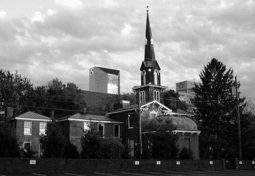
Apr 20-24: Red River Gorge, Toledo, Ohio, and Downtown Lexington
A hike to Second Story in the Red River Gorge. Then Oak Openings in Toldeo, OH. A ramble around downtown lexington for legal aid services.
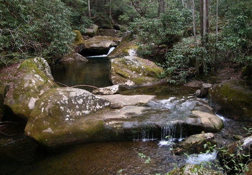
Apr 16: John Muir Trail, Big South Fork
John Muir Trail starting at Leatherwood Ford, north to Angel Falls, Grand Gap Loop, River Views, and back to Leatherwood Ford.John Muir Trail starting at Leatherwood Ford, north to Angel Falls, Grand Gap Loop, River Views, and back to Leatherwood Ford.
This area is covered in our Big South Fork Trail Map:
[img]http://www.outragegis.com/store/images/T/th_BISO_Cover-125w.jpg[/img]
Buy this map
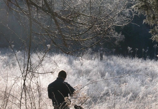
Mar 24-26: Sheltowee Trace & John Muir Trail, Big South Fork
Great Meadows, Rock Creek DBNF Trailhead, Divide Road, John Muir Trail Overlook, No Business Creek, Ranse Boyatt Homestead, Kentucky Trail at Laurel Hill Road, Peter's Mountain, Mark Branch Falls, Hemlock Grove, Great Meadows.Great Meadows, Rock Creek DBNF Trailhead, Divide Road, John Muir Trail Overlook, No Business Creek, Ranse Boyatt Homestead, Kentucky Trail at Laurel Hill Road, Peter's Mountain, Mark Branch Falls, Hemlock Grove, Great Meadows.
This area is covered in our Big South Fork Trail Map:
[img]http://www.outragegis.com/store/images/T/th_BISO_Cover-125w.jpg[/img]
Buy this map

Mar 14: Woodland Park, Lexington
An evening walk through the historic Woodland Park.

Mar 16: Sheltowee Trace, Red River Gorge
Bison Way Trailhead at Gladie Historic Site, Sheltowee Trace, Indian Arch, below Cloud Splitter, Red River Gorge Suspension Bridge, KY 715, Bison Way.Bison Way Trailhead at Gladie Historic Site, Sheltowee Trace, Indian Arch, below Cloud Splitter, Red River Gorge Suspension Bridge, KY 715, Bison Way.
This area is covered in our Red River Gorge Trail Map:
[img]http://www.outragegis.com/store/images/T/th_Gorge.jpg[/img]
Buy this map
Feb 23-24: Charit Creek Lodge, Twin Arches, Big South Fork
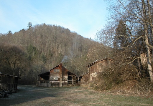
East Rim Overlook. Sawmill Trailhead, Slave Falls, Station Camp Creek, Charit Creek Lodge, Iron Stove Smores, Twin Arches Loop, Sawmill Trailhead.East Rim Overlook. Sawmill Trailhead, Slave Falls, Station Camp Creek, Charit Creek Lodge, Iron Stove Smores, Twin Arches Loop, Sawmill Trailhead.
This area is covered in our Big South Fork Trail Map:
[img]http://www.outragegis.com/store/images/T/th_BISO_Cover-125w.jpg[/img]
Buy this map

Feb 19: Auxier, Double Arch, Courthouse Rock Trails, Red River Gorge
Auxier Ridge Trailhead, Wizard's Backbone, Courthouse Rock, Princess Arch, Mural Gulch, Courthouse Rock Trail, Auxier Ridge Trailhead.Auxier Ridge Trailhead, Wizard's Backbone, Courthouse Rock, Princess Arch, Mural Gulch, Courthouse Rock Trail, Auxier Ridge Trailhead.

Feb 15: Red River Gorge, Hanson's Point
Gray's Arch Trailhead, Pinch 'Em Tight Ridge, Buck Ridge, Koomer Ridge, Pygmalion Rock, Sheltowee Trace, Signature Rock, Hanson's Point, Gray's Arch Trailhead.Gray's Arch Trailhead, Pinch 'Em Tight Ridge, Buck Ridge, Koomer Ridge, Pygmalion Rock, Sheltowee Trace, Signature Rock, Hanson's Point, Gray's Arch Trailhead.
This area is covered in our Red River Gorge Trail Map:
[img]http://www.outragegis.com/store/images/T/th_Gorge.jpg[/img]
Buy this map
Jan 20: Mouth of Rockcastle Loop, Daniel Boone NF
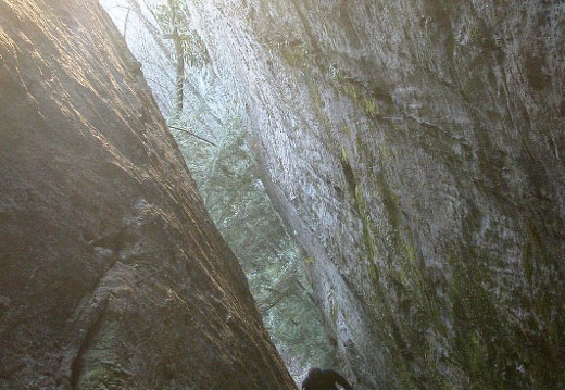
Scuttlehole Trailhead, Scuttlehole Overlook, Ned's Branch Trail, Twin Branch Trail, Lake Cumberland, Rockcaste Recreation area, Dutch Branch Trail, Scuttlehole Trailhead. Scuttlehole Trailhead, Scuttlehole Overlook, Ned's Branch Trail, Twin Branch Trail, Lake Cumberland, Rockcaste Recreation area, Dutch Branch Trail, Scuttlehole Trailhead.
Jan 14-15: Honey Creek Loop, John Muir Trail, Big South Fork
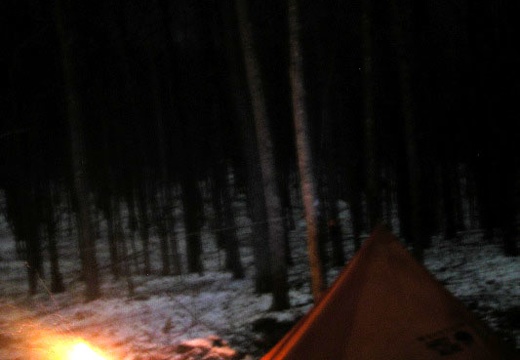
The Honey Creek Loop is only about 6 miles, with spurs, but takes a good 4 hours to complete. The National Park considers this national recreation trail among the most difficult in the Big South Fork. Short but extremely sweet, rugged, and craggy with manThe Honey Creek Loop is only about 6 miles, with spurs, but takes a good 4 hours to complete. The National Park considers this national recreation trail among the most difficult in the Big South Fork. Short but extremely sweet, rugged, and craggy with many waterfalls and boulder strewn streams. The lower JMT connects Burnt Mill Bridge with Honey Creek Overlook, but it is orphaned, not connect by official trail, to the upper JMT section. The upper JMT is considered an extension of Sheltowee Trace NRT.
This area is covered in our Big South Fork Trail Map:
[img]http://www.outragegis.com/store/images/T/th_BISO_Cover-125w.jpg[/img]
Buy this map

Jan 7, 2006: John Muir Trail, Big South Fork
An attempt to connect the upper and lower sections of the JMT, which are not connected between the O&W Bridge and the Honey Creek Loop. A submission here provided a map of a connector trail above Honey Creek and the network of horse trails, but unfortAn attempt to connect the upper and lower sections of the JMT, which are not connected between the O&W Bridge and the Honey Creek Loop. A submission here provided a map of a connector trail above Honey Creek and the network of horse trails, but unfortunately I failed to find the footpath. Although I didn't look too long, it appears that perhaps a small creek might provide easy access to the Loop, since overland is clogged with pine beetle damage. Itinerary: Leatherwood Ford - O & W Bridge - above Honey Creek - O & W Overlook - Leatherwood Loop and OV - Angel Falls Portage - Leatherwood Ford. Visit Sheltoweetrace.com for a copy of the map.
This area is covered in our Big South Fork Trail Map:
[img]http://www.outragegis.com/store/images/T/th_BISO_Cover-125w.jpg[/img]
Buy this map

Dec 26, 2005 - Jan 1, 2006: Bogue Bank, NC
The Beach @ Mom's

05 Nov 27-28: Laurel Fork & Station Camp Creeks, Big South Fork
Right when you say, "What could go wrong now..." it hits. I was trailing down Laurel Fork on the final stretch. It was 7pm, pitch black in the valley, and Pixel was doing an excellent job keeping me on trail while we crossed Laurel Fork probablyRight when you say, "What could go wrong now..." it hits. I was trailing down Laurel Fork on the final stretch. It was 7pm, pitch black in the valley, and Pixel was doing an excellent job keeping me on trail while we crossed Laurel Fork probably 30 times in that distance. I had a headlamp, the creek wasn't running high, and I was dry. Enter the beaver dam. You see evidence of beavers and their dams throughout the Big South Fork. Along many creek banks large trees stand half-decapitated, while others, having been felled by this mischievous critter, lay awkwardly and unorganized. But there's a plan. Beavers dam to the sound of running water by instinct. Their dams, especially in this narrow valley, are a dangerous jungle of flooded deadfall. You can only go around and avoid plunging through its porous banks. Thankfully the park flagged a reroute, but was tricky to follow at night and I found myself bushwhacking around a boggy, mashy mess. The beaver, a keystone species almost trapped into extinction, is protected by the park, so hikers can expect more of these dams. The beaver forms the only natural ponds and wetlands in Kentucky. Charit Creek Lodge, is a full-service, year-around backcountry lodge located where Charit and Station Camp Creeks intersect. The only way to access this former wild boar hunting camp is by foot, mountain bike, or horseback. The lodge's central structure was built in the 1810s. The name Charit is thought to honor Charity, a little girl who drowned here in the 1920s during a flood. Slave Falls is an immense rock house and waterfall that was once a hideout for runaway slaves. Itinerary: West Entrance Bandy Creek Trailhead - Laurel Fork Creek - up to Jack's Ridge - Black House Branch trail - Station Camp Crossing - Station Camp Creek - Charit Creek Overlook - Slave Falls - Needle Arch - Sawmill Trailhead - Indian Dome Rockhouse - Laurel Fork Creek - West Entrance Bandy Creek - 36 miles.
This area is covered in our Big South Fork Trail Map:
[img]http://www.outragegis.com/store/images/T/th_BISO_Cover-125w.jpg[/img]
Buy this map

